


GUIDE TO SAFE HIKING IN THE FAROE ISLANDS
Link Copied!

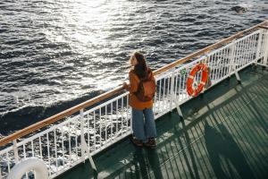
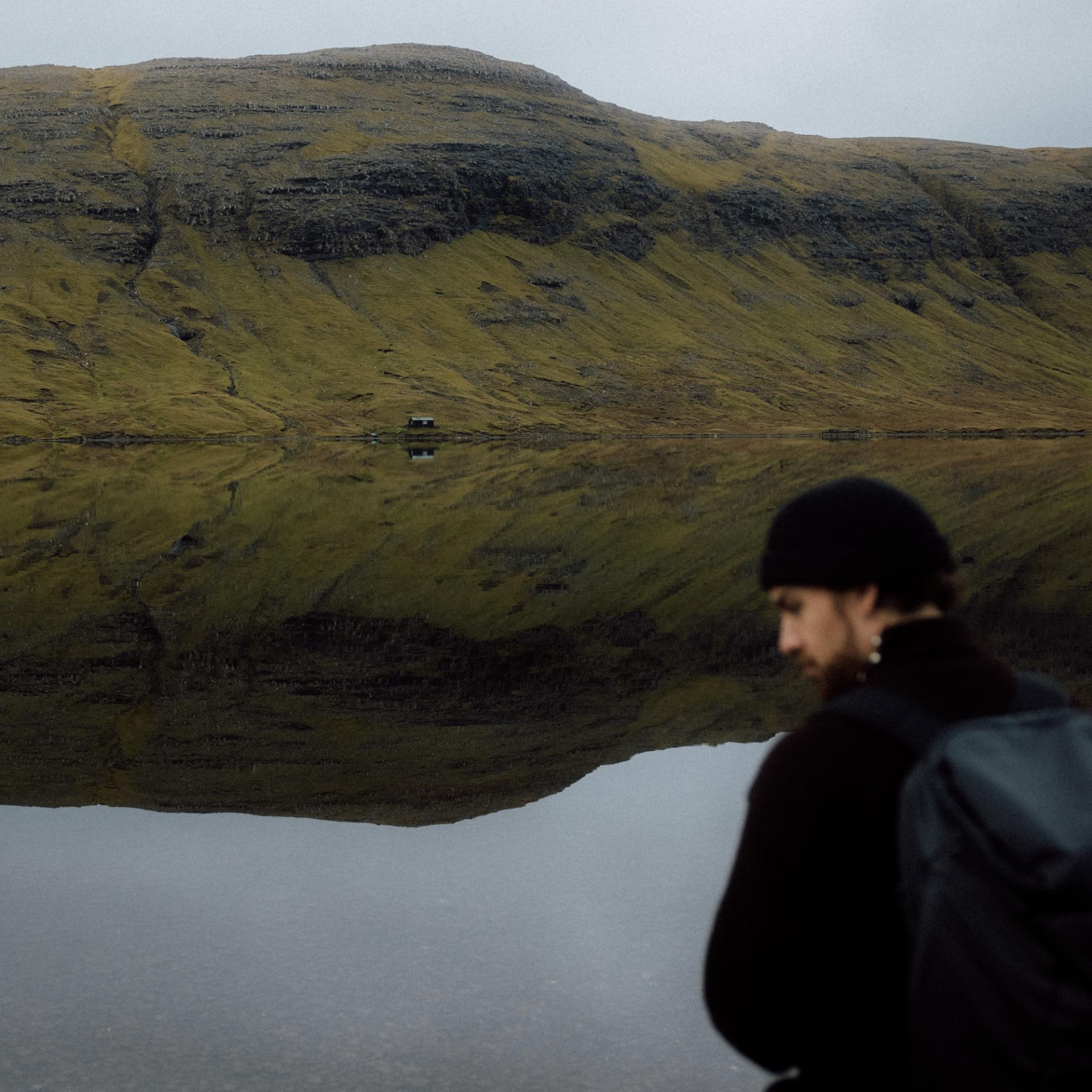
We highly recommend reading the Guide to Safe Hiking before setting out on your journey in the Faroe Islands. It gives you valuable insight into how to behave responsibly in nature, what to wear, and what to consider when exploring the mountains.
Safe Hiking Guidelines
- Let someone know – tell your host where you’re going, and fill out the safety form provided.
- Be cautious on loose ground: Areas with stones and rocks can be slippery, especially in dry conditions. Avoid dislodging loose rocks, as they may injure hikers below you.
- Respect shepherds at work: If locals are herding near you, hide immediately so the sheep don’t notice you. If necessary, lie down and stay completely still. Disturbing the process can cause serious problems for both sheep and shepherds.
Following these simple steps will make your hike safer and help emergency services reach you more quickly if needed.
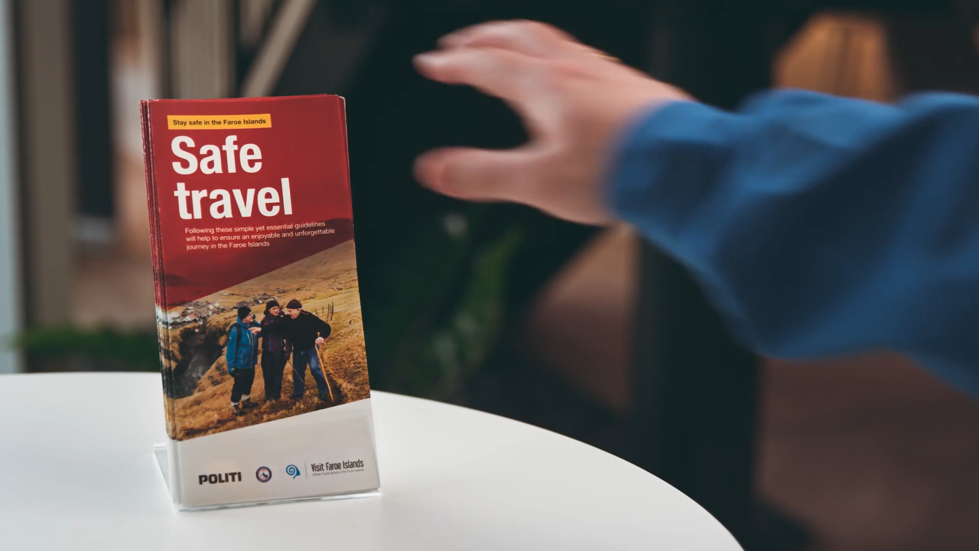
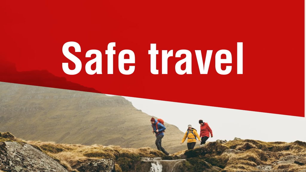
Going on a longer hike? | Fill in the Safe Travel leaflet

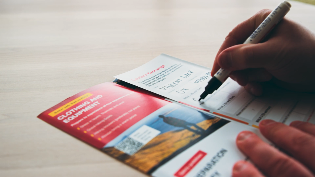
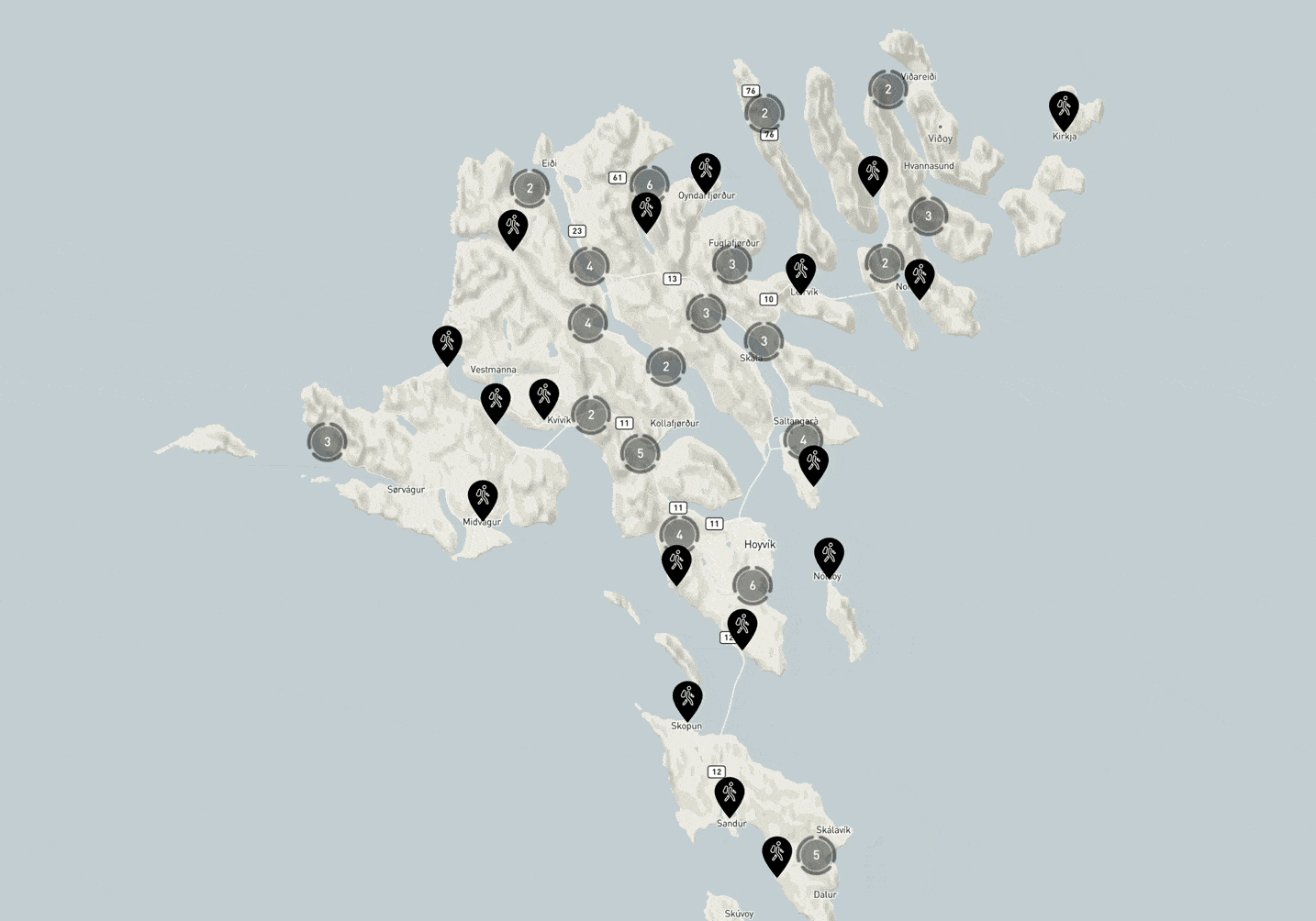
The ‘safe travel’ leaflet provides essential information about how to travel in the Faroe Islands. On the back page, you can fill out the information about where you plan to hike and when you expect to return. Leave the leaflet under your car's windshield or at your accommodation. That way, someone can notify relevant authorities should you not return by the time you have stated. The leaflet can be downloaded or picked up at regional information centres, car hires, on the Smyril Line ferry, and at Vágar Airport, among other places.
Please also read or download the hiking guide online here.
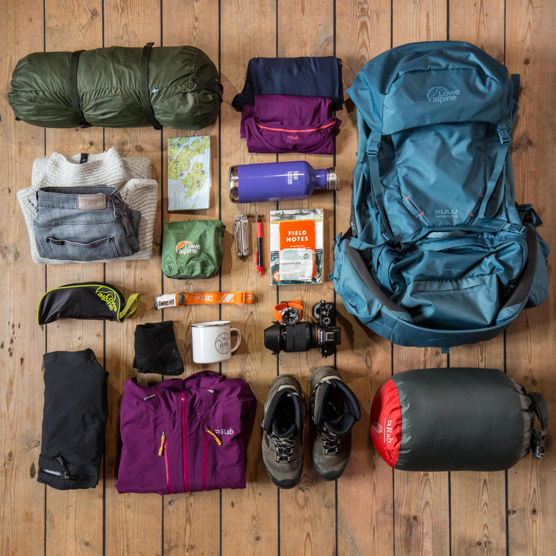
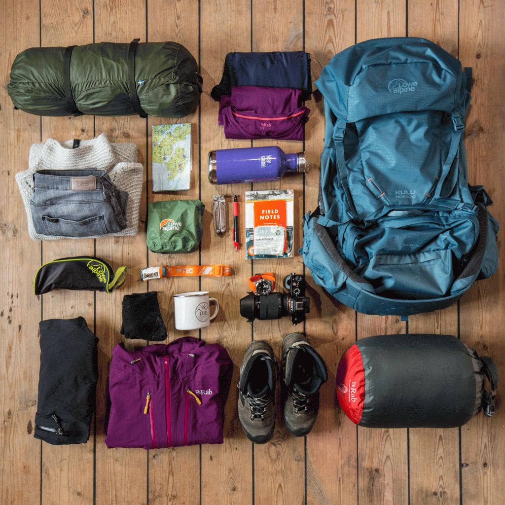
Clothing and Equipment
For Short Hikes & Viewpoints
- Layer up wisely: Wear several thin layers – preferably wool or fleece – with a windproof and waterproof shell (preferably not jeans). These materials keep you warm even when wet. Avoid nylon in steep areas, as it can be slippery.
- Choose good footwear: Sturdy walking shoes or boots with rough soles are always recommended, especially on steep ground.
- Stay connected: Always bring a fully charged mobile phone, and consider an extra power bank for longer hikes.
Faroese wool garments are sustainable, colourful, and made for the islands’ unpredictable weather – a practical and lasting souvenir.
For Longer Hikes
- Pack essentials: Always carry food, water, and a map. Bring a fully charged mobile phone and, if possible, a power bank, as coverage can be limited. A headlamp, compass, and whistle are helpful in case of emergencies.
- Plan: Before you leave, fill out the Safe Travel leaflet and place it in your car or accommodation. This will make it easier to get help if something goes wrong.

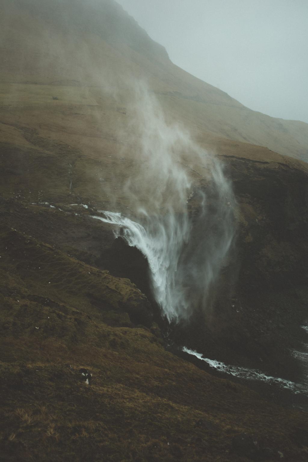
Weather and Safety
- Check the forecast: Always check the weather before setting out. Do not start a hike in fog or darkness, and remember that conditions can change quickly.
- Expect the unexpected: Even if the forecast looks good, meteorologists can be wrong. Once you are on the trail, be prepared for sudden changes.
- If caught in fog: Keep close to the cairns. If visibility is so poor that you cannot see from one cairn to the next, stop, wait by a cairn, and keep warm until it clears.
- Beware of wind: Wind in the Faroe Islands is unpredictable and can create sudden, powerful gusts. For your safety, never walk too close to cliff edges.
- Know when to turn back: There is no shame in not finishing a hike if conditions or your situation make it unsafe.
Our preferred weather channels:
vedur.fo – the official Faroese weather service
yr.no – trusted forecasts for the Faroe Islands
faroeislandslive.com – live webcams and local conditions
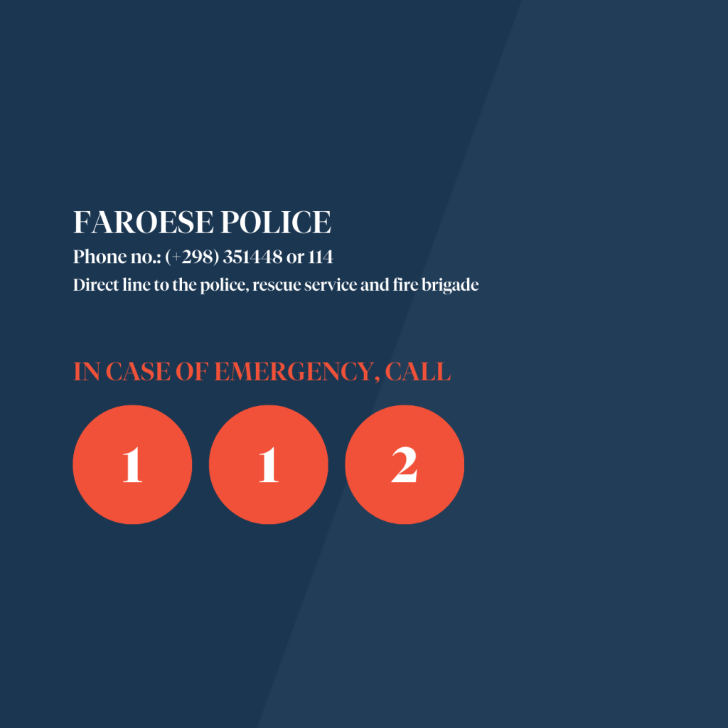
HARE-HUNTING SEASON
Please note that the hare-hunting season runs annually from 2 November to 31 December. Most people choose to hunt hares on Saturdays, but it is their right to hunt on all days except Sunday. Hunting takes place in the mountains all across the country.
For your safety, we advise against hiking during this season. If you wish to go hiking, please contact the landowner. The regional information centre in the respective area can provide these contacts.