-
 Photo: Joshua Cowan - @joshzoo
GEOGRAPHY
Link Copied!

One of the Faroe Islands’ most renowned writers, William Heinesen (1900-1991), once called the capital of the Faroe Islands, Tórshavn, “The Navel of the World”. Seeing how small the islands are in comparison to the vast land and ocean surrounding them, it’s no wonder he described them in this way.
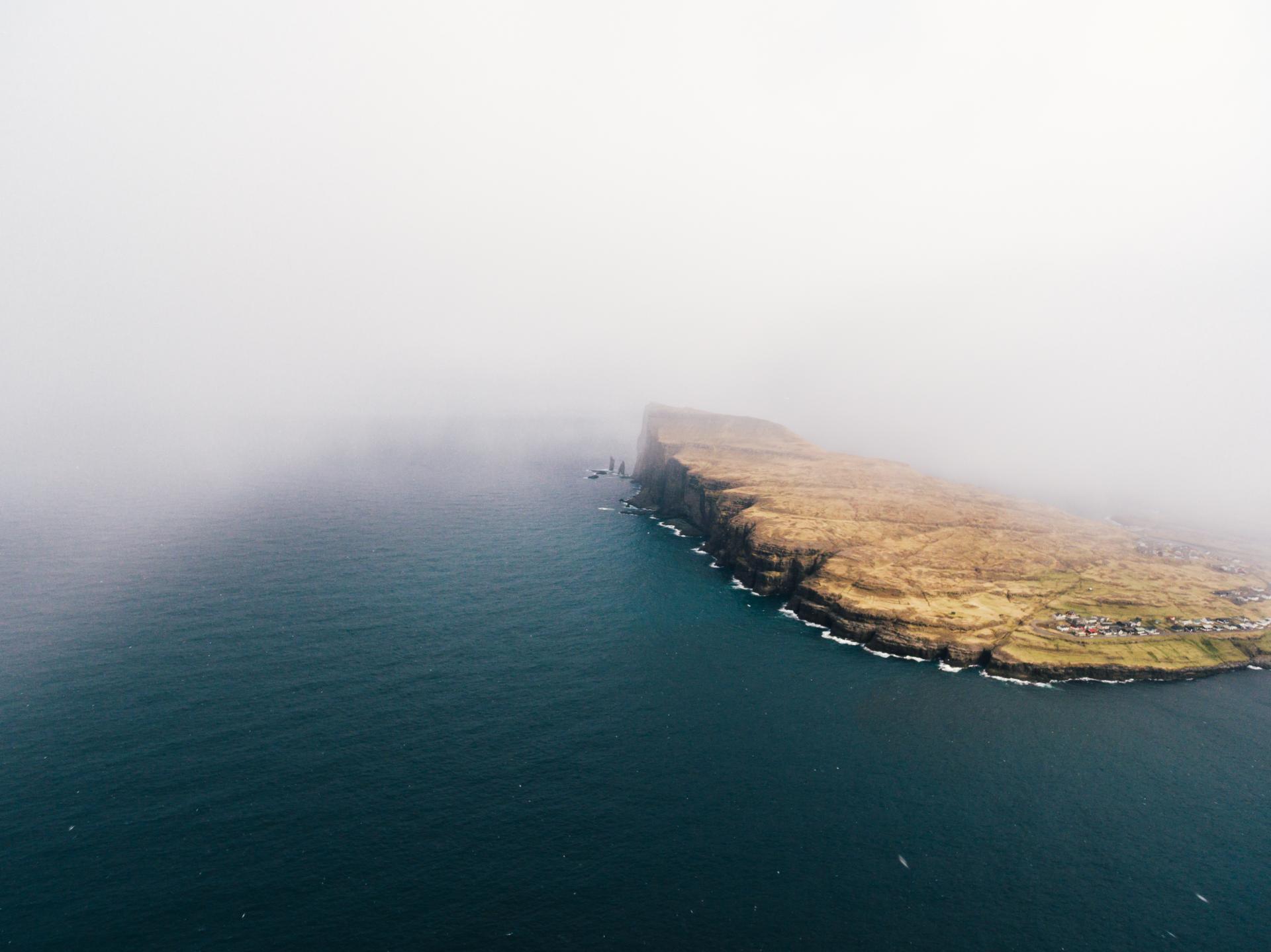
The Faroe Islands are an archipelago made up of 18 rugged islands, separated by narrow sounds and fjords. These volcanic islands lie in the North Atlantic Ocean at 62º north and 6º47’ west, located about halfway between Scotland and Iceland.
Their total land mass totals 1,399 square kilometres, with a maritime economic zone covering 274,000 square kilometres and a population of nearly 50,000.
The overall length of the archipelago from north to south is 113 kilometres and 75 kilometres from east to west.
HIGHEST POINT
The islands’ highest point is “Slættaratindur” mountain, towering at 880 metres above sea level. Cliffs make up most of the 1,117 kilometres of coastline, with most places soaring about 3-400 metres above sea level. The highest cliff, Enniberg, measures about 700 metres from the surface of the ocean.
The Faroe Islands are of volcanic origin. They are dominated by tholeiitic basalt lava, which was part of the great Thulean Plateau during the Paleogene period.
The geographical remoteness of the Faroe Islands can perhaps make it seem a bit mysterious. The nearest neighbouring countries are located hundreds of kilometres away. However, the Faroe Islands are strategically very well positioned in the shipping lane between the two wealthiest continents in the world. Additionally, the islands are only a couple hours’ flight from some of the biggest cities in Northern Europe.