You haven’t got any favourites yet
This is where you can collect inspiration, articles, events and places that interest you.
Click the icon on pages and they’ll appear here.
Your favourites
Inspiration & Articles
Events & Tours
Places
Hiking
INSPIRATION & ARTICLES
EVENTS & HIKES
Places
Fámjin - Vágur


Link Copied!

-
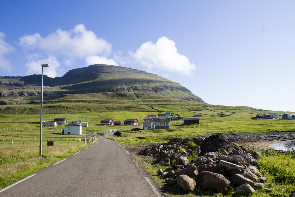
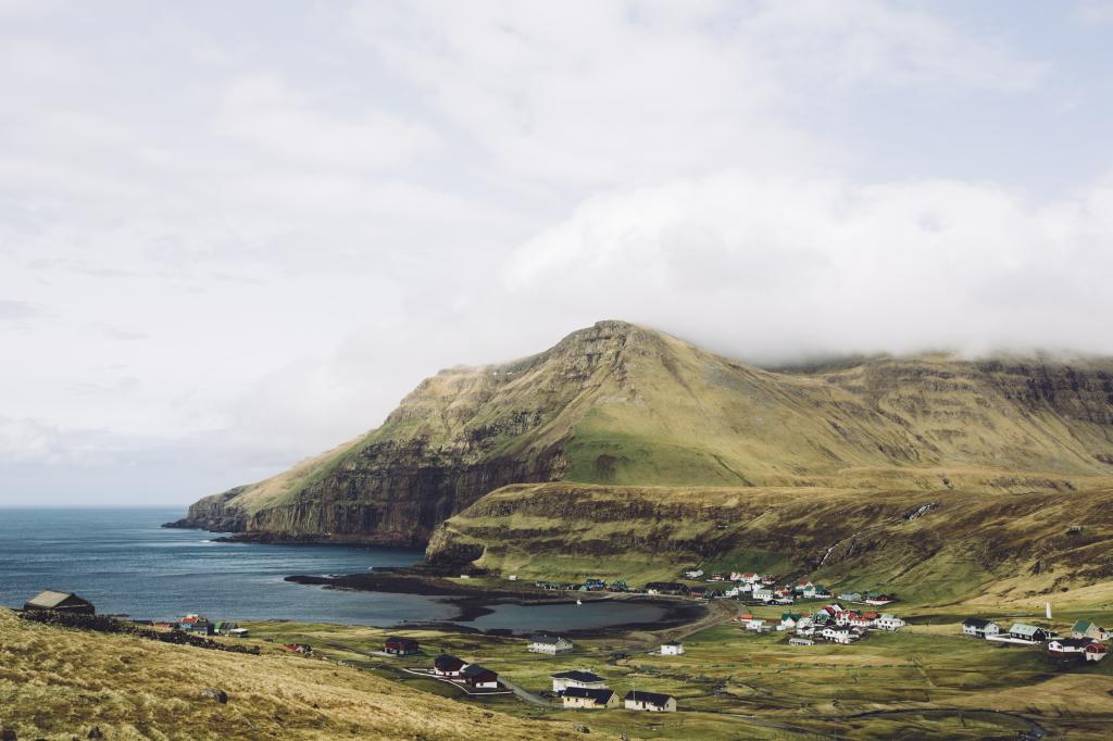 The village of Fámjin. Photo: Simon Dubreuil
 -
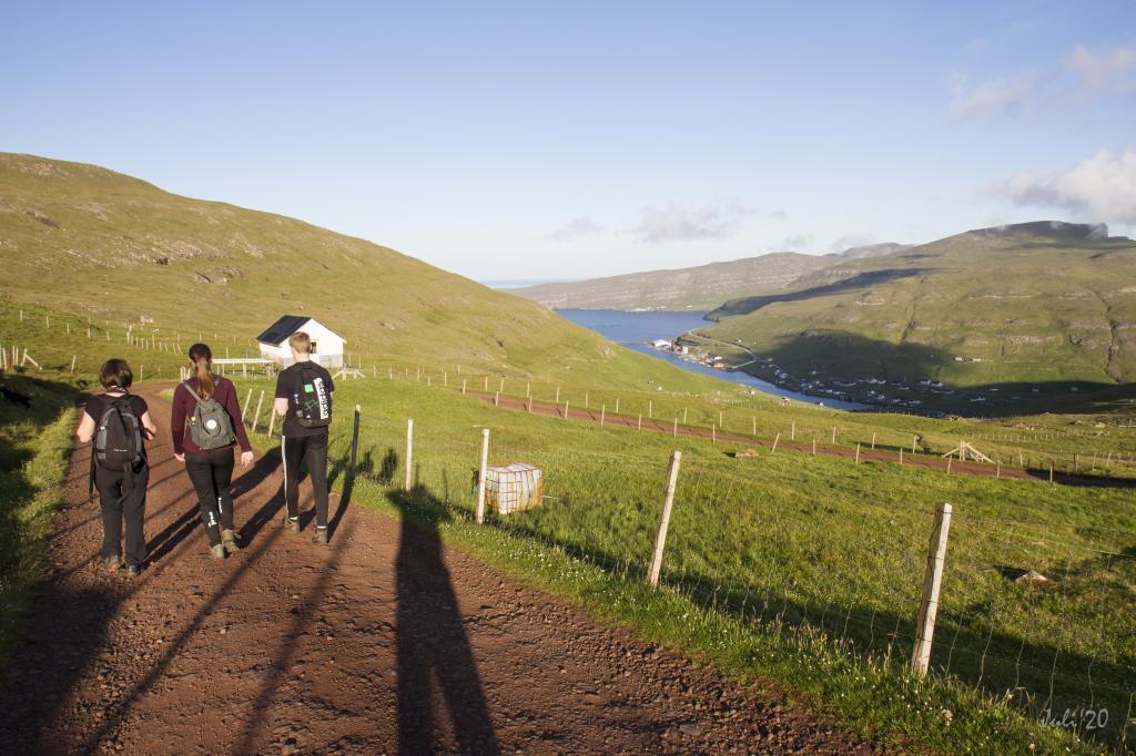
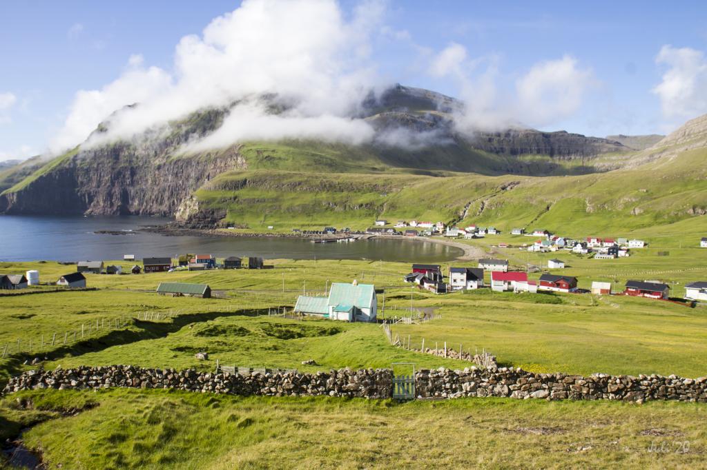
 View above the village of Fámjin. Photo: Óli Gardshodn
 -
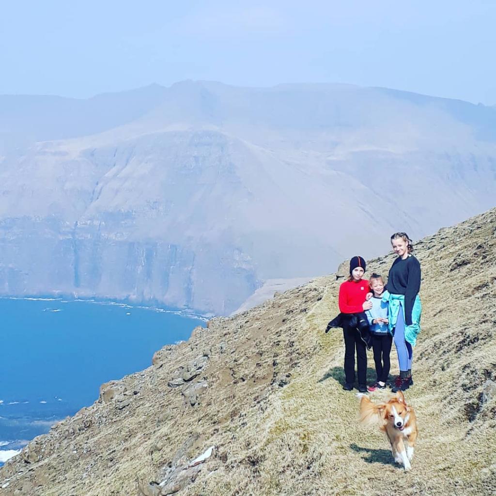
 The valley of Fámjin with all its lakes surrounded by mountains. Photo: Óli Gardshodn
 -
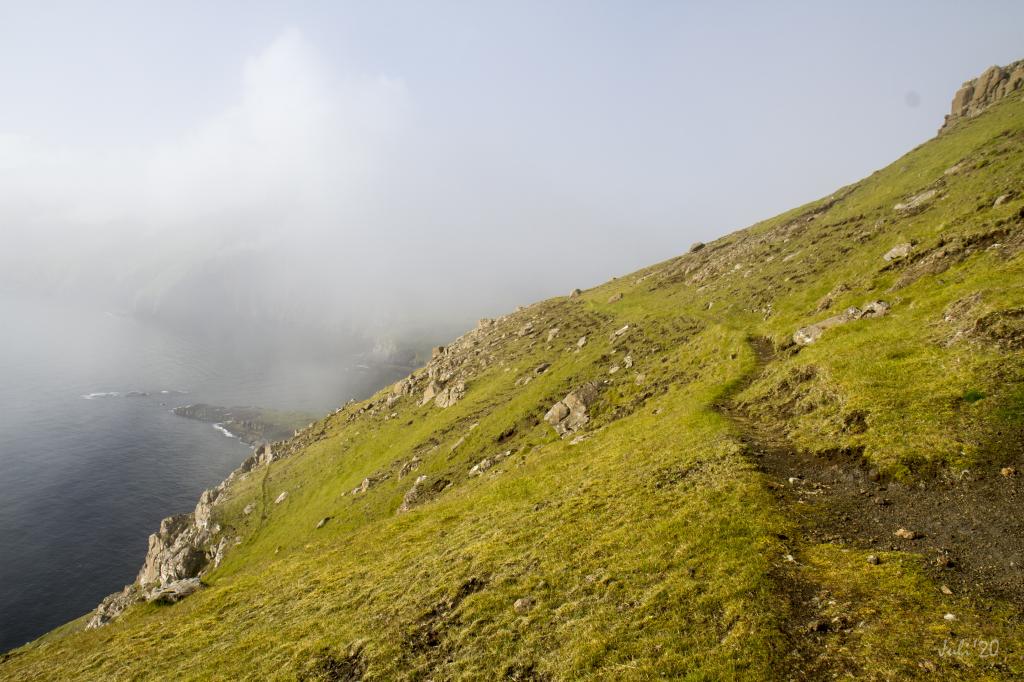 Photo: Óli Gardshodn
 -
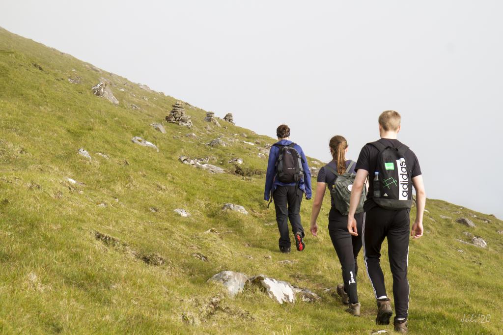 There are cairns along all the villagepath. Here we walk through the grassy Fløtan in 390m. Photo: Óli Gardshodn
 -
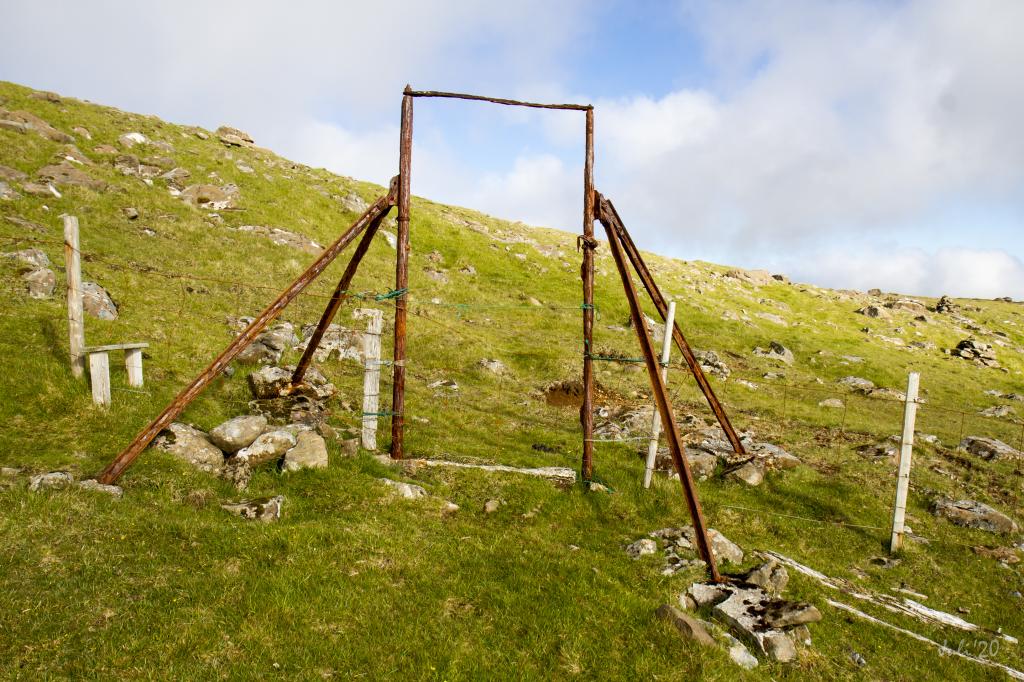 Having walked 1.3 km over Fløtan, you reach the outfield of Bjarghagi, where you go through an old gate. Photo: Óli Garðshorn
 -
 The view is beautiful while we walk down to the lake Ryskivatn. Here we are on the top of Loskarbrekka. Photo: Óli Gardshodn
 -
 Lake of Ryskivatn. Photo: Óli Gardshodn
 -
 The dam over Ryskivatn. Photo: Óli Gardshodn
 -
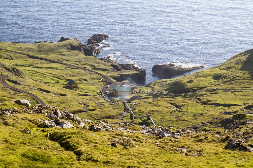 View over Botnur where the first power plant in Faroe Islands was built in 1921. Photo: Óli Gardshodn
 -
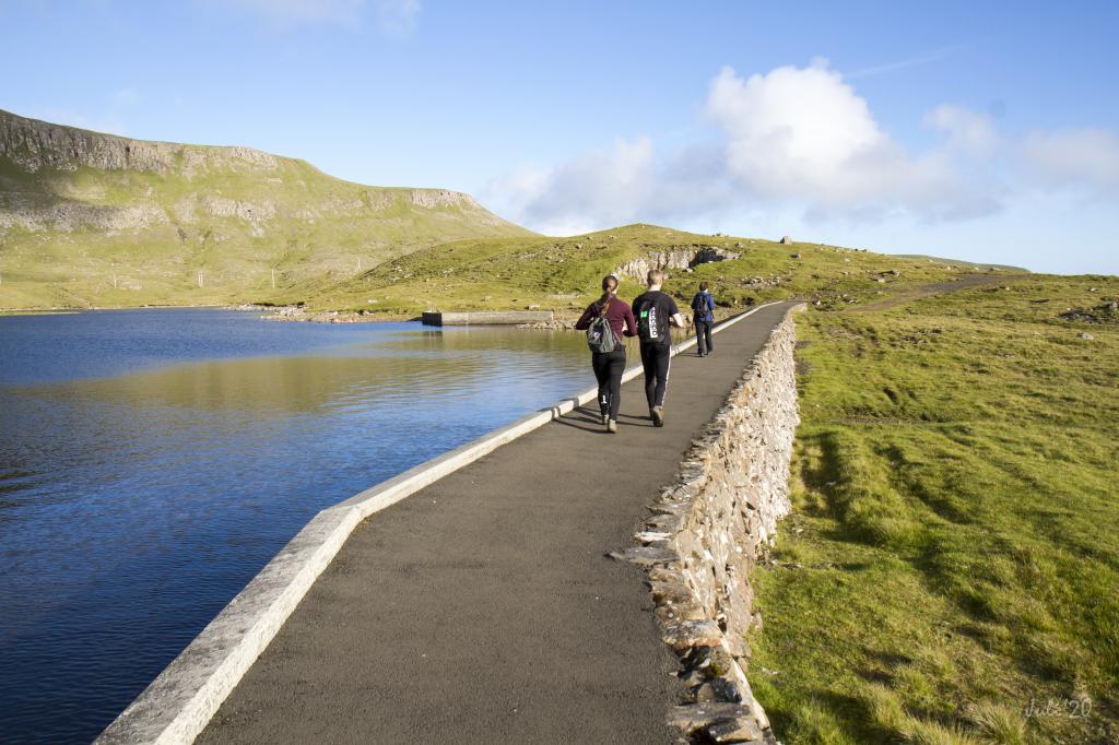
 The 4,5 km from the lake of Ryskivatn down to Vágar, we walk on a gravelroad. Here on our way down to Vagar. Photo: Óli Gardshodn
-
The village of Fámjin. Photo: Simon Dubreuil
-
View above the village of Fámjin. Photo: Óli Gardshodn
-
The valley of Fámjin with all its lakes surrounded by mountains. Photo: Óli Gardshodn
-
Photo: Óli Gardshodn
-
There are cairns along all the villagepath. Here we walk through the grassy Fløtan in 390m. Photo: Óli Gardshodn
-
Having walked 1.3 km over Fløtan, you reach the outfield of Bjarghagi, where you go through an old gate. Photo: Óli Garðshorn
-
The view is beautiful while we walk down to the lake Ryskivatn. Here we are on the top of Loskarbrekka. Photo: Óli Gardshodn
-
Lake of Ryskivatn. Photo: Óli Gardshodn
-
The dam over Ryskivatn. Photo: Óli Gardshodn
-
View over Botnur where the first power plant in Faroe Islands was built in 1921. Photo: Óli Gardshodn
-
The 4,5 km from the lake of Ryskivatn down to Vágar, we walk on a gravelroad. Here on our way down to Vagar. Photo: Óli Gardshodn
Experience the Fámjin - Vágur hike on Suðuroy’s west side with stunning mountain views and serene lakes along the trail.
In Fámjin, you can start by the church, from where you take the lane by Fámjinsvegur 41 and continue on the village path. As soon as you are above the main road, you must climb over a fence to continue on the village path.
As you reach the hill Reyðabakki, at an elevation of 375 metres, you can enjoy the views of over the mountains around Fámjin, renowned for their beauty. From Reyðabakki, the hike continues southward through the plain of Fløtan. Having walked 1.3 km over the plain, you reach the outfield of Bjarghagi, where you go through a gate.
In Bjarghagi you will find several smaller and larger lakes, the largest being Mittvatn (elevation, 347 m) and Ryskivatn (elevation, 244 m). The view over the lakes at Bjarghagi, scattered at various elevations, is unique and beautiful. Above the lakes you will find the majestic peaks Borgin and Borgarknappur in addition to the ledge Glopprókin with its unique columnar basalt embedded into the mountain ridge.
The village path continues straight down to Ryskivatn, the largest of the lakes, lying at the bottom of Bjarghagi. Walk along the lake, cross the dam, continue south along the lake, and walk the short stretch on the dirt road to the parking lot. If your car is parked in Vágur, you can walk from the dam to the big parking lot below it. If you do not have a car, walk the 4 km on the dirt road to Vágur. From the road you see the power plant at Botnur, which is the first power plant in the Faroe Islands.


Fámjin - Vágur
Public transport
Route 701 Fámjin–Tvøroyri–Sandvík. Most of the trips are so-called T-trips, i.e., you must notify SSL, the public transportation company, an hour in advance.
Arriving by car
Parking, Fámjin
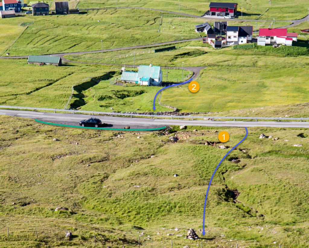
In Fámjin there is a large parking lot by the main road where the path starts, marked with green on the picture. From there, go uphill (blue arrow # 1), where you will spot the cairns that stand at close interval up the hill.
If you have parked by the church in Fámjin, go up the lane (with gates at both ends) to the main road (see arrow # 2 in the picture), and then follow arrow # 1 as described above.
-
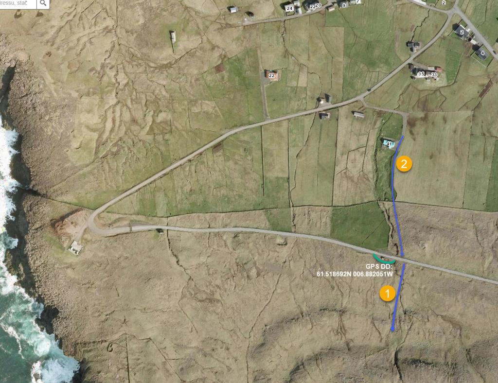 See green line for parking and blue line for startingpoint
 -
 See green line for parking and blue line for startingpoint
 -
 Walk from the parking by the church
 -
 Startingpoint
Vágur - Fámjin
Public transport
Route 700 Sumba–Vágur–Tvøroyri. In Vágur, the hike from the bus stop up to Ryskivatn is about 4.5 km.
Parking
You can park by the street, Gjógvaráveg above the town.


Fámjin - Vágur
Vágur - Fámjin
Facts

Duration

distance

Peak

Elevation
 Suitable for children over 8 years. This is a long hike with significant elevation gain
 Medium
- The first stretch from Fámjin and the stretch up to Ryskivatn are somewhat steep.
Some loose gravel is on the small tablelands and crags on the path
Medium
- The first stretch from Fámjin and the stretch up to Ryskivatn are somewhat steep.
Some loose gravel is on the small tablelands and crags on the path
 Grass-covered and overall good for walking. Some loose gravel is on the small tablelands and crags on the path