You haven’t got any favourites yet
This is where you can collect inspiration, articles, events and places that interest you.
Click the icon on pages and they’ll appear here.
Your favourites
Inspiration & Articles
Events & Tours
Places
Hiking
INSPIRATION & ARTICLES
EVENTS & HIKES
Places
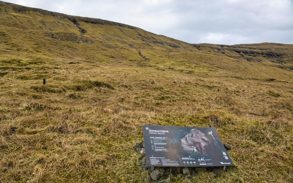
Guðrunarløkur - Skarvanes - Dalur


Link Copied!

-
-
-
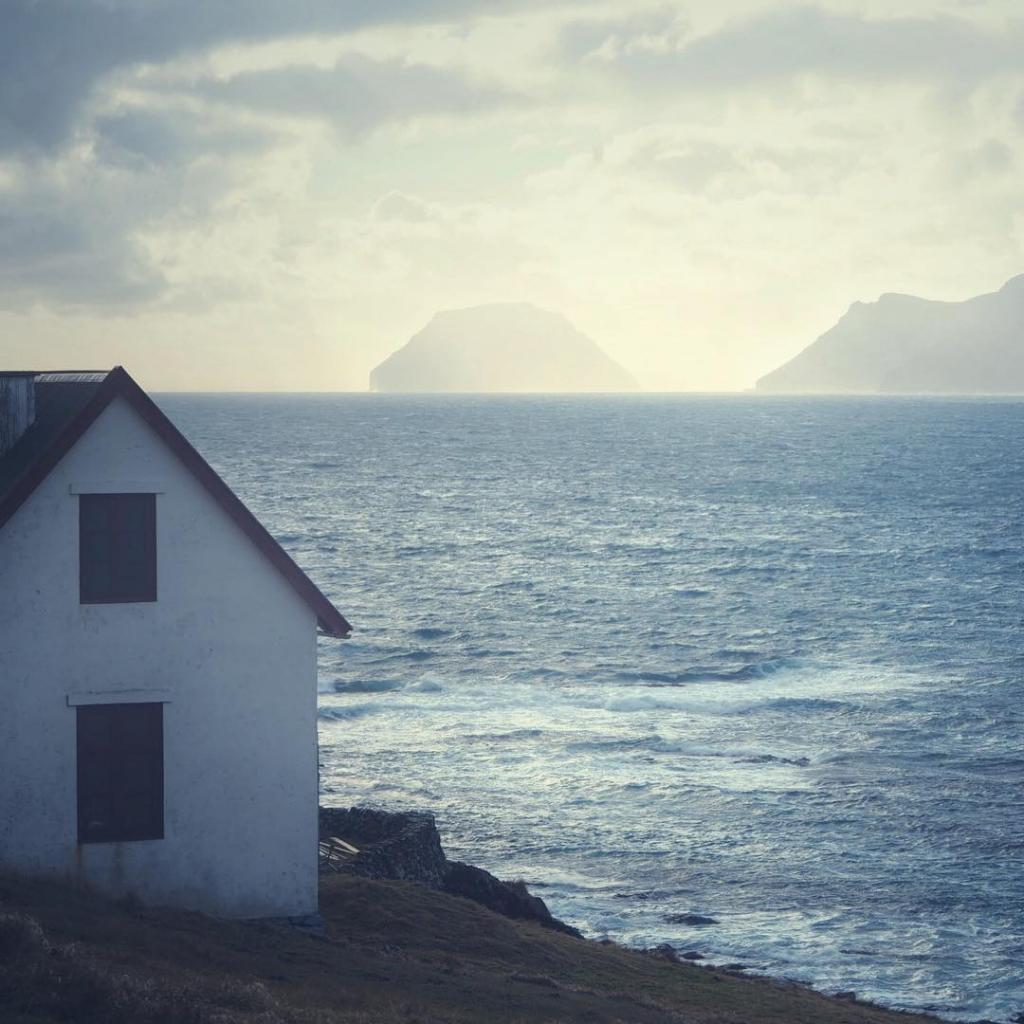
 Dalur Photo: Derek Malou
 -
-
-
-
-
-
Dalur Photo: Derek Malou
-
-
-
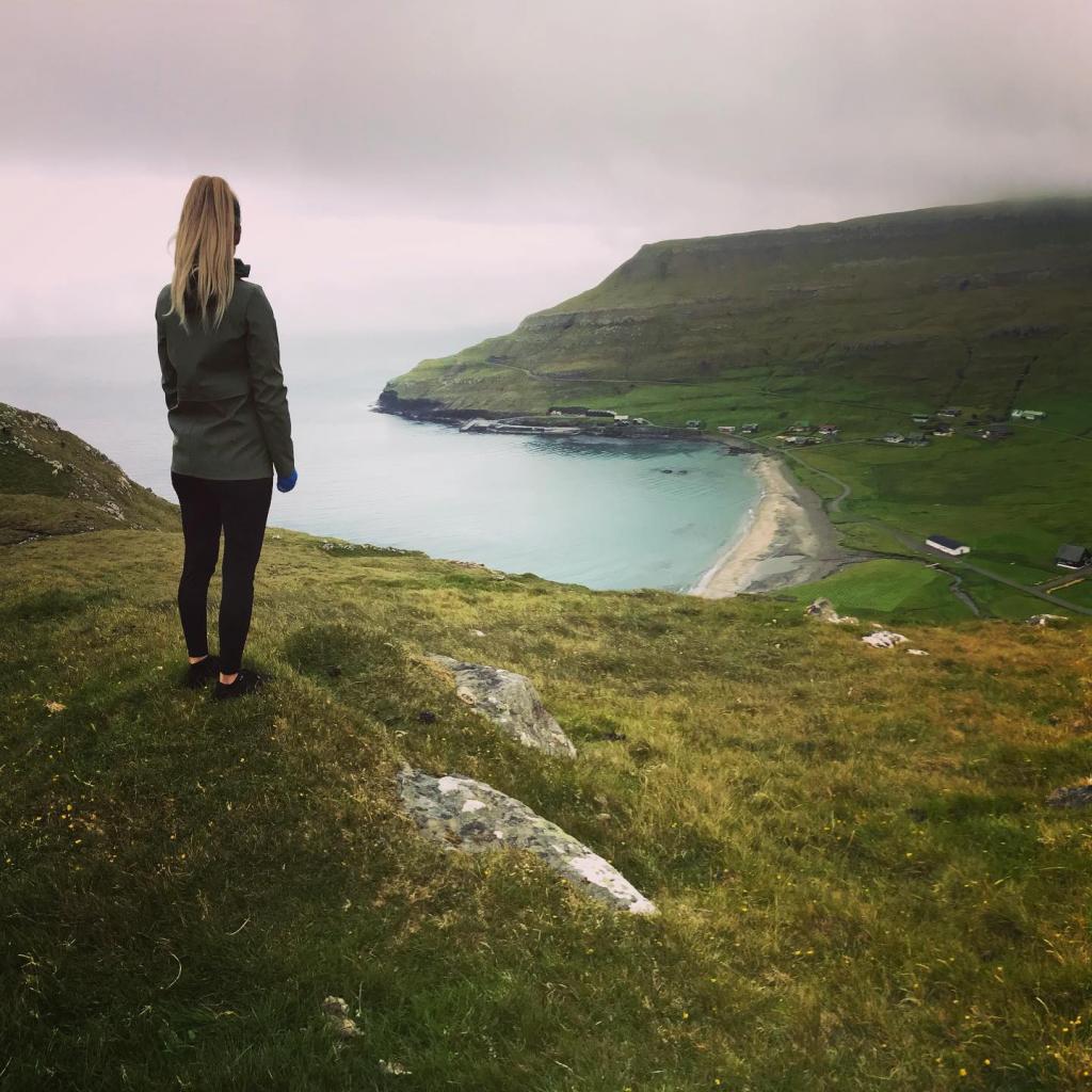
Explore the Guðrunarløkur - Skarvanes - Dalur hike through Sandoy’s southern villages, peat lands, and stunning Atlantic views.
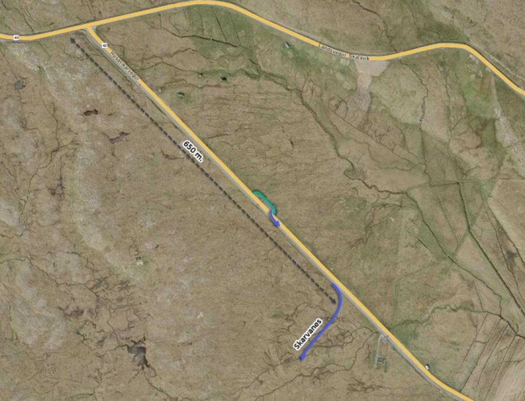
Start at the crossroads Skálavík/Húsavík. Go 200 metres from Húsavík to Guðrunarløkur, which runs by a sheepfold by the road.
Walk from the sheepfold at Guðrunarløkur onwards under the rock ledge to the south. Under the rock ledge is Runtaurð. The story is that Runti was a sheep thief who hid there. On Christmas Day, he risked leaving his hiding place in order to cook himself a meal as he thought that people would not be out. But this was not the case and he was seen and caught.
A short way further on, the path comes to Klovnastein. These are two stones standing in such a way that they appear to be a single stone cleaved in two. Superstition had it that if you walked between them, you would die before the end of the year.
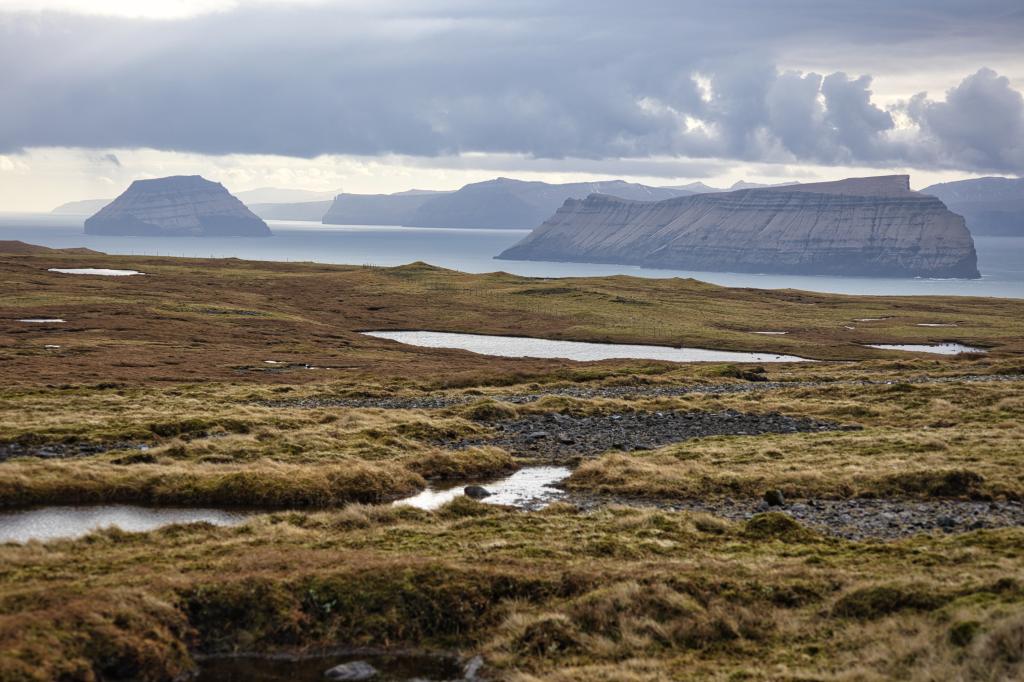
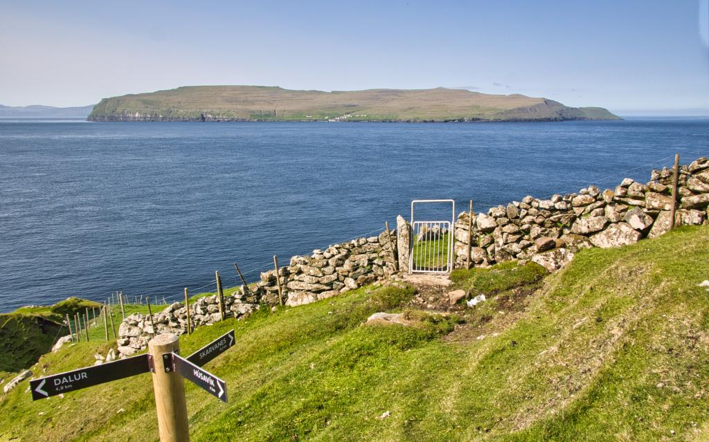
The land you are walking on here is old peat land. When you curve south at Líðarøkur, you get a beautiful view of Dúnjavatn, with Stóra and Lítla Dímun, and Suðuroy in the background. You can also see Salthøvdi and the village of Sandur, which is thought to be one of the oldest villages in the Faroe Islands. A little north of Stóra Dímun is Øssursdrangur, named after Øssur Havgrímsson, a chieftain from the Viking Age, who was killed by Sigmundur Brestisson in a power struggle. South of Øssursdrangur is Grønaskor. Øssur asked to be buried so that his head faced Grønaskor. To the right is the island of Skúvoy.
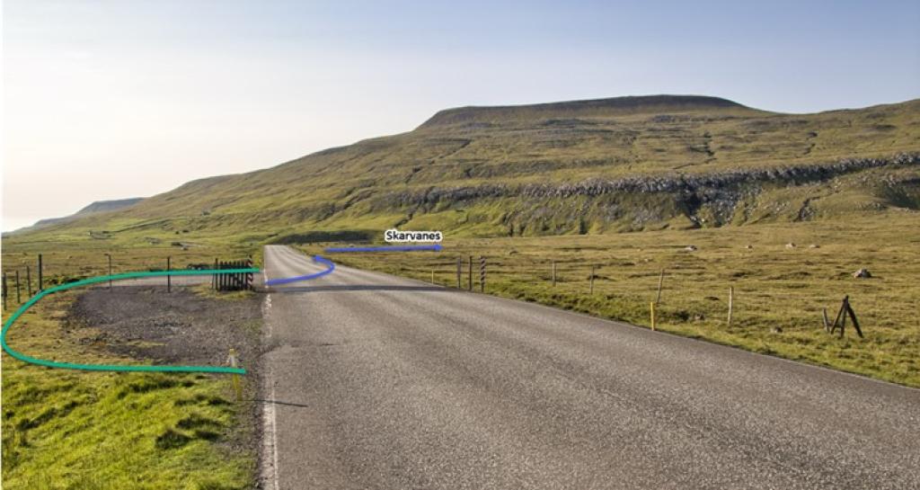
Further up in Skarvanes, go through the opening in the fence closest to the river. Make sure you walk down between the river and the electricity pylons and not through the meadow.
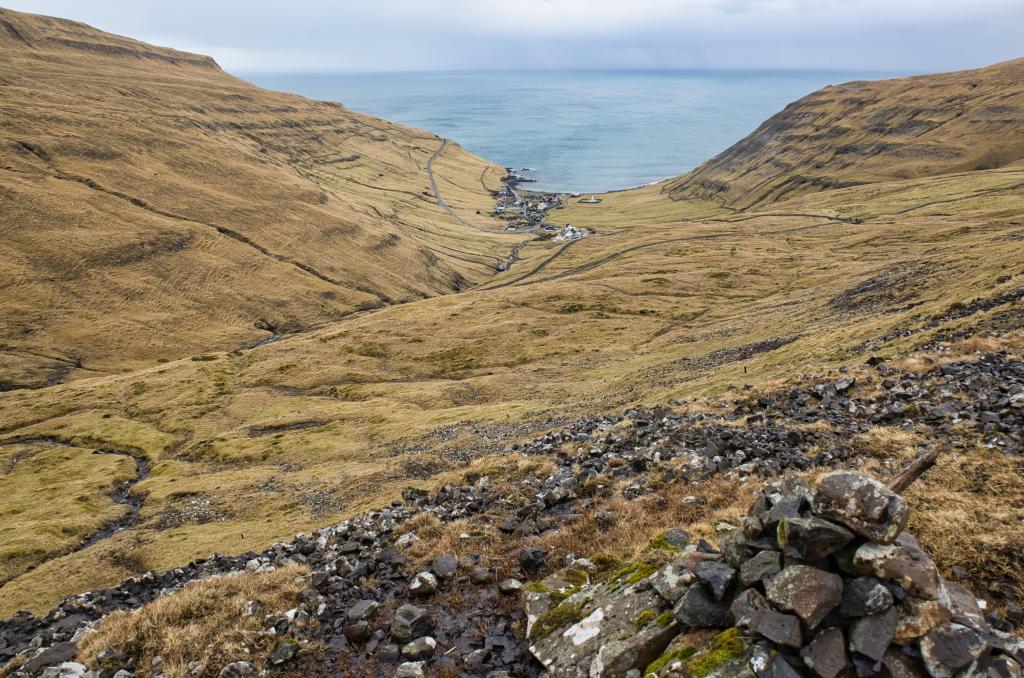
FROM SKARVANES TO DALUR
From Skarvanes, there are two parallel paths. Go south along the upper one. The path ends by a broken stone wall, and there, the path to Dalur begins. Past Dalsrók, about half a kilometre from Skarvanes, is a short steep stretch downwards. Otherwise, the path slowly inclines up towards Handasti Varði. While you walk up to Handasti Varði, you can see marshland and Lake Vatnsdalur on the right.
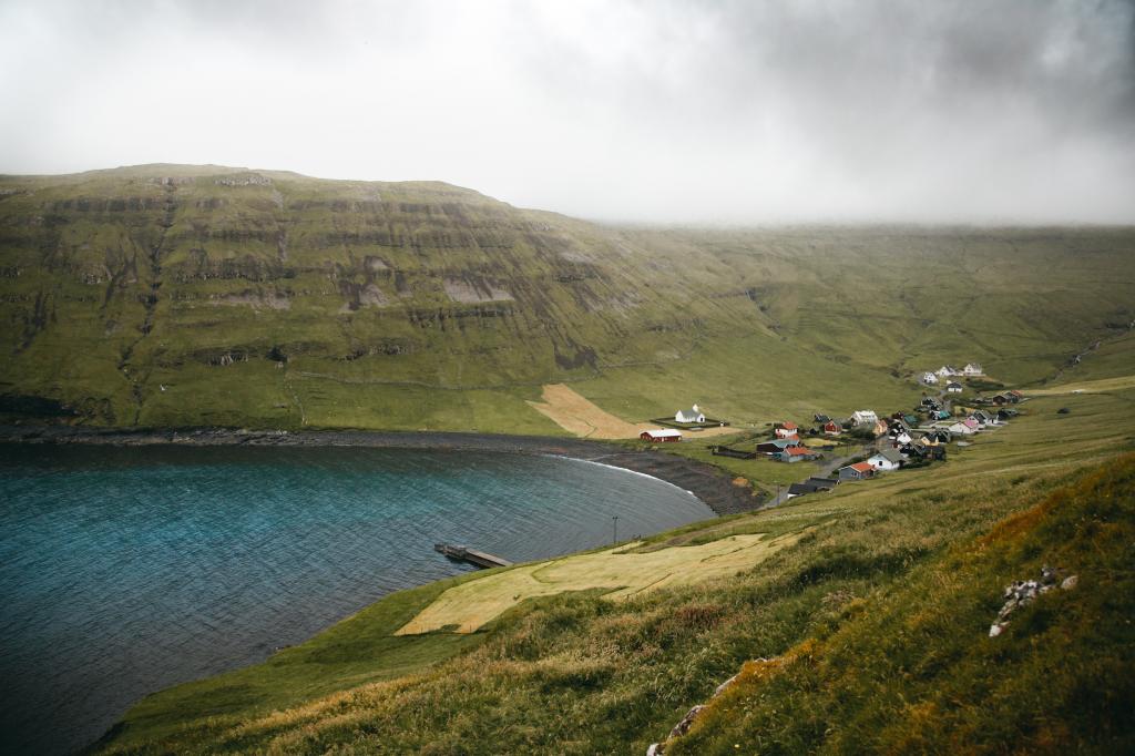
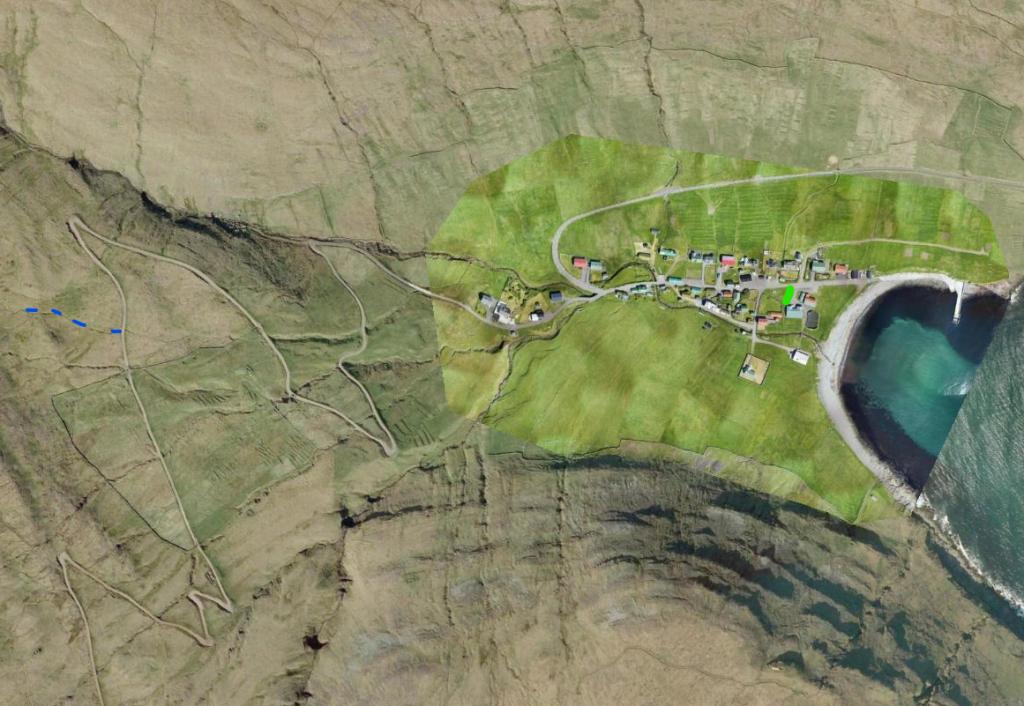
After the last cairn in Dalur, walk along the road down to the village.
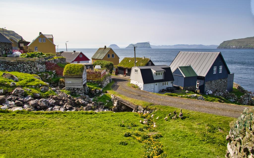
Dalur is the southernmost of the villages on Sandur. It was connected to the other villages by road in 1963. The church in the village is from 1957.


Guðrunarløkur - Skarvanes – Dalur
By Guðrunarløk are two parking spaces by the sheep fold. If the parking is used because of seasonal sheep herding, there's a larger parking spot available 300 meters north of the sheepfold towards the village of Skálavík.
Dalur - Skarvanes - Guðrunarløkur
Public transport
The route 601 takes you to Dalur. Both of the public routes on the island are driving to Skopun, where the ferry to the mainland leaves from.
Arriving by car
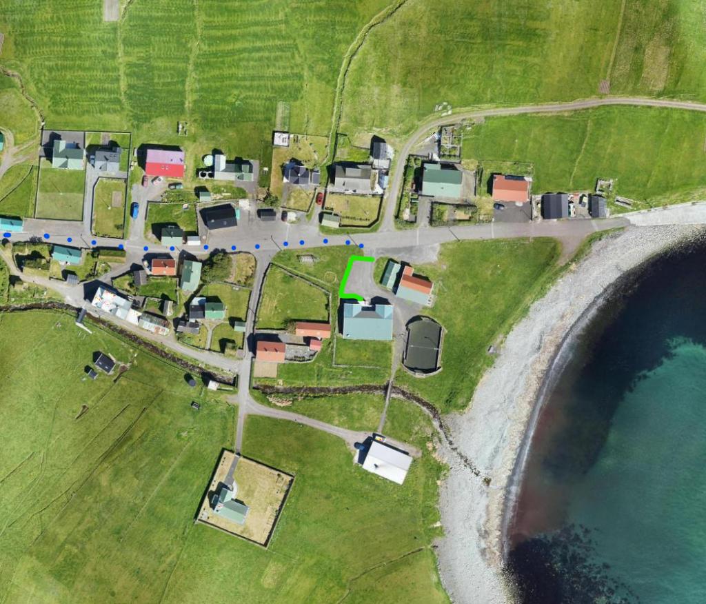
Parking, Dalur
You can park in the village (see photo below).
-
 See green line for parking and blue line for starting point
 -
 See green line for parking and blue line for starting point
Guðrunarløkur - Skarvanes – Dalur
Dalur - Skarvanes - Guðrunarløkur
Facts

Duration

distance

Peak

Elevation
 Suitable for children
 Medium
- Easy to Skarvanes, moderate to Dalur
Medium
- Easy to Skarvanes, moderate to Dalur
 Grass cairn path