
WHAT'S ON





Language:


Sites

You haven’t got any favourites yet
This is where you can collect inspiration, articles, events and places that interest you.
Click the icon on pages and they’ll appear here.
Your favourites
Inspiration & Articles
Events & Tours
Places
Hiking
Search
Search results
INSPIRATION & ARTICLES
Read More
EVENTS & HIKES
Read More
Places
Read More
Leynavatn


Link Copied!

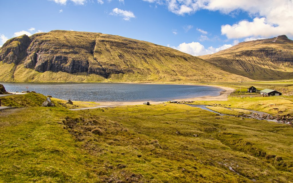
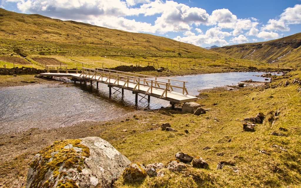
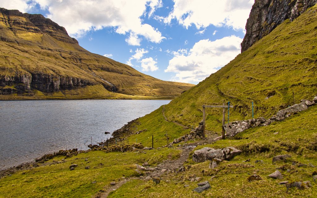
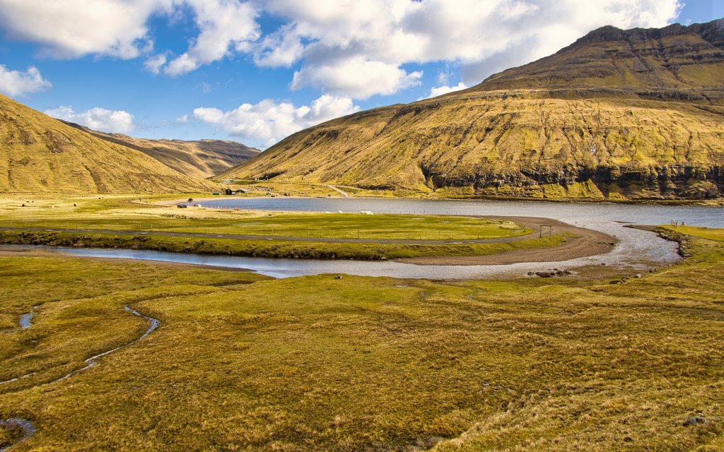
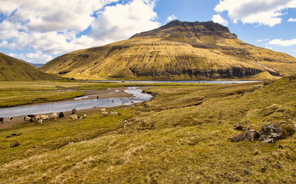
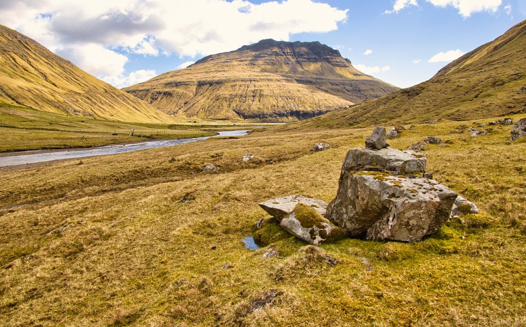
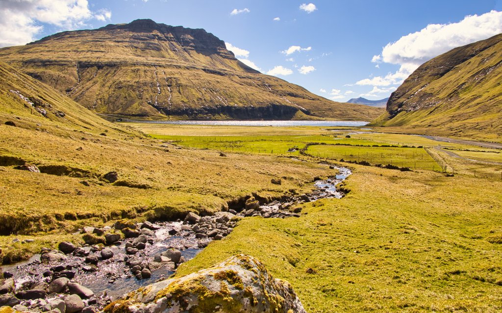
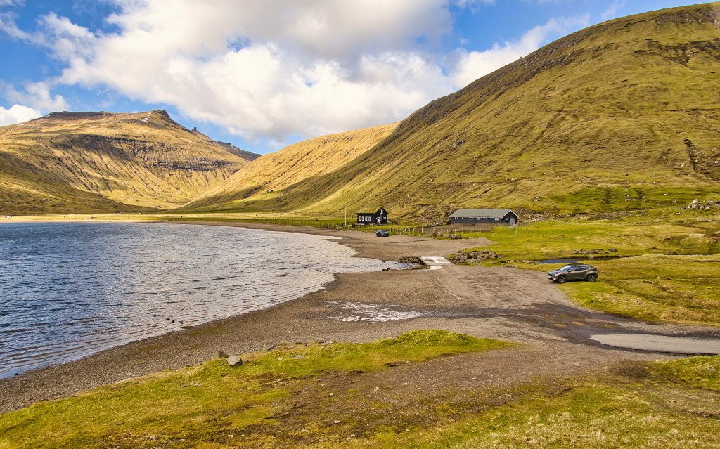
Surrounded by high mountains and deep gorges, Leynavatn is a natural gem
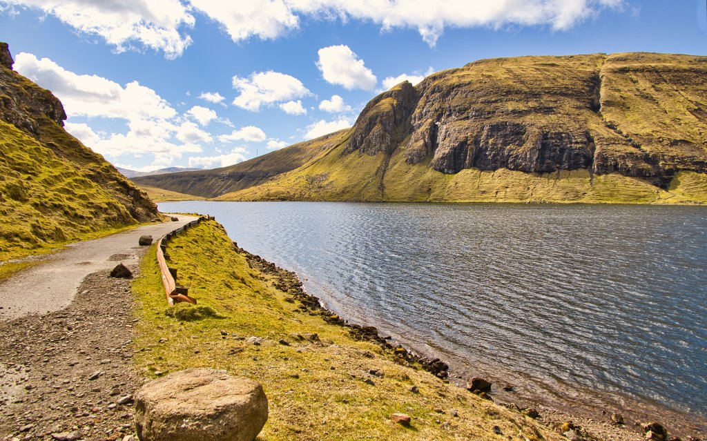
Leynavatn is the sixth-largest natural lake in the Faroe Islands. With a long, broad stretch of sand at its upper end, surrounded by high mountains, cliffs and deep gorges, the lake is a captivating natural gem. The area has probably seen considerable traffic since ancient times, as five old village paths run alongside the lake. The old farmhouses by Gjónna, dating from 1740, also stand here. This circular hike follows these historic paths around the lake.The annual Leynavatn festival, with horse racing, camping, bonfires and social gatherings, is a local highlight. In the 1970s, the lake also provided the setting for large Christian gatherings, when singing and speeches echoed between the mountains. Leynavatn is known for trout fishing, although a fishing permit is required. A small scout hut beside the sandy shore is rented to scout groups and other youth organisations.
Drive down to the lake on the western side of the tunnel entrance. Go through the gate by the sheep shed, then through the gate in the sheepfold to the left. Continue along the fence and stone wall for approximately 800 metres to the old farmhouse by Gjónna.
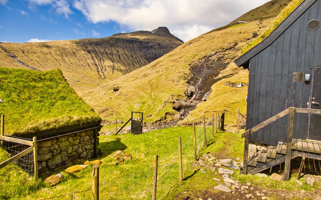
The houses remain hidden as you walk, then suddenly appear in a hollow just before the gorge. Follow the fence above the houses and pass through the gate between the houses and the storehouse above them.
This is a beautiful and peaceful place. It feels almost like stepping into a time capsule, where you can imagine the hard work once required to live here. The farmhouses formerly housed the Michelin-starred restaurant KOKS, which served interpretations of traditional Faroese delicacies.
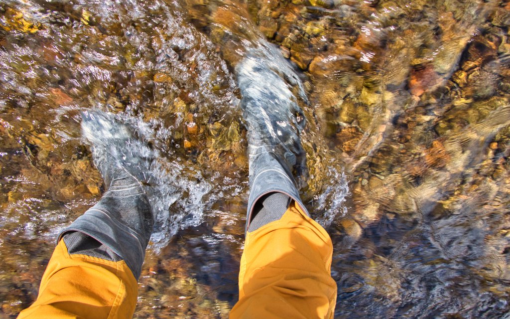
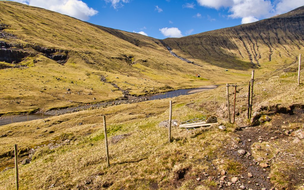
Continue along the path into the valley, pass through the gate and head diagonally down towards the river. Cross between the two large stones, one on either bank. There is no gate in the fence, so you must climb over it. There is no bridge or line of stepping stones across the river either. When the water is high, you will need wellington boots or may have to wade. In low water, it can usually be crossed in hiking boots. Never attempt the crossing if conditions appear unsafe.
Once across, walk back down towards Leynavatn. Keep slightly uphill from the riverbank; about 50 metres from the river, you will find the path again.
As you follow the river back, the old farmhouses lie beautifully below the deep gorge. Looking downhill, there are views over the river and its broad sandy bed, the large tongues of land on either side, and Leynavatn, with the 621-metre mountain Sátan behind it. The uppermost cliff on Sátan consists of the columnar basalt of the Streymoy sill. Pause here to enjoy the peace and views with a cup of coffee.
Continue beside the lake through the steep terrain beneath the high cliffs known as Drangarnir. At the end of the lake, cross the bridge and go through the gate up to the road. Follow the old road beneath the mountainside back to the starting point, enjoying views across the lake towards Drangarnir and Drangagil.


Public transport
There is no bus stop at Leynavatn.
Parking
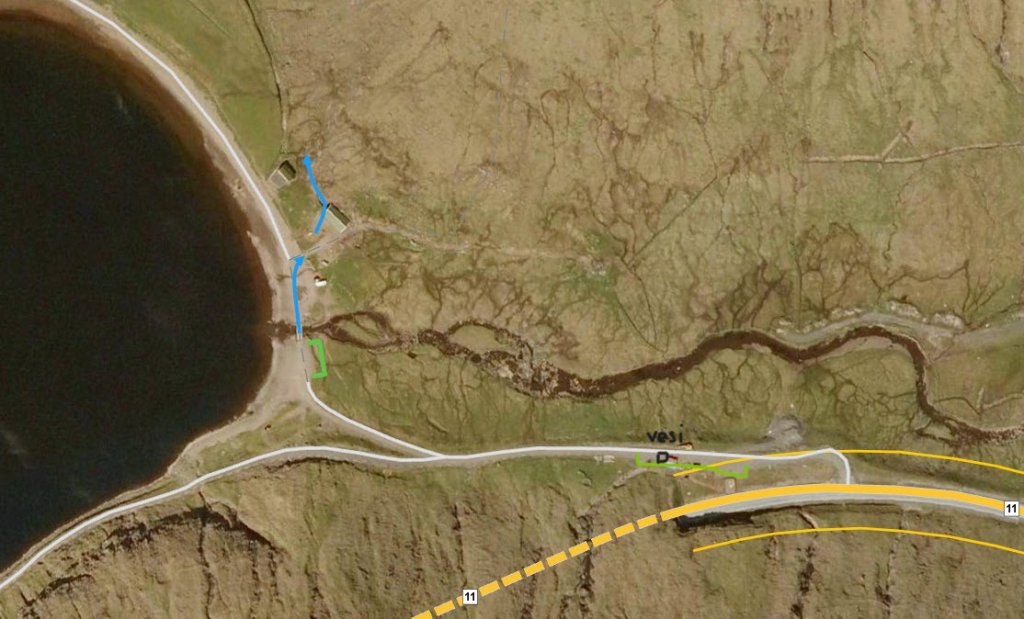
There is good parking beside the point where the road reaches the lake. See the images below.
Park your car within the area indicated by the green lines. Follow the blue arrow through the gate and then through the gate in the sheepfold.
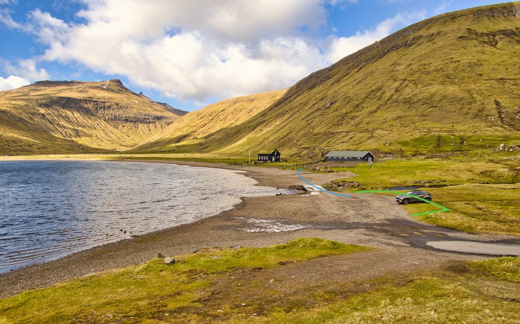
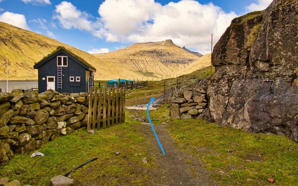
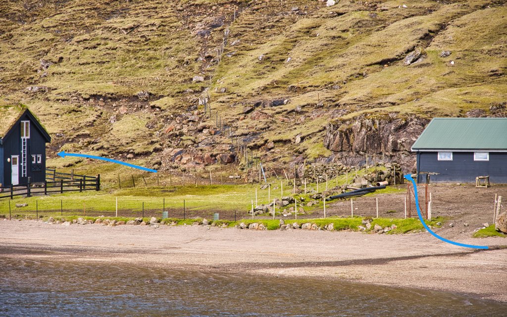
Park your car, go through the first gate and then through the gate in the sheepfold.
Facts

Duration

distance

Peak

Elevation
 Suitable for children aged 6 and over. The path is generally easy to walk, and there are no sections that are particularly dangerous for children. The varied terrain makes it an enjoyable walk, although it may be slightly too long for the youngest children. When the river is high, small children must be carried across.
 Medium
- At Gjónna, you must cross the river Dalá, which can become quite deep depending on the season and recent rainfall. I carried wellington boots in my backpack, and the water reached approximately 10–15 cm up the boots as I waded across.
There is no gate or stile where the route crosses Dalá, so you must climb over the fence.
Medium
- At Gjónna, you must cross the river Dalá, which can become quite deep depending on the season and recent rainfall. I carried wellington boots in my backpack, and the water reached approximately 10–15 cm up the boots as I waded across.
There is no gate or stile where the route crosses Dalá, so you must climb over the fence.
 The path is generally good and easy to follow. It can be slightly wet in places, but ordinary hiking boots should be sufficient. The route also crosses the large river Dalá, which must be forded. There is no gate or stile by the river crossing, so you must climb over the fence.
