


You haven’t got any favourites yet
This is where you can collect inspiration, articles, events and places that interest you.
Click the icon on pages and they’ll appear here.
Your favourites
Inspiration & Articles
Events & Tours
Places
Hiking
INSPIRATION & ARTICLES
EVENTS & HIKES
Places
Skeiðsskarð - Norðradalur


Link Copied!

-
 Above the waterfall Áarstíggjafossur. Photo: Kirstin Vang
 -
 Above the waterfall Áarstíggjafossur. Photo: Kirstin Vang
 -
 View from View from the pass Skeiðsskarð over the mountain Skælingsfjall. Photo: Kirstin Vang
 -
 View from the pass Skeiðsskarð down over Stígareynini and the valley below Gjáarbotnur. Photo: Kirstin Vang
 -
 The valley Skorardalur below the mountain Sornfelli. Photo: Óli Gardshodn
 -
 The beautiful view from the ridge Vatndalsegg down over the valley Oman fyri Stígar. In the background the islands Hestur, Koltur and Sandoy. Photo: Óli Gardshodn
 -
 View from the waterfall Áarstíggjafossur over the rock wall Níphamar. Photo: Kirstin Vang
 -
 View from the waterfall Áarstíggjafossur. Photo: Kirstin Vang
-
Above the waterfall Áarstíggjafossur. Photo: Kirstin Vang
-
Above the waterfall Áarstíggjafossur. Photo: Kirstin Vang
-
View from View from the pass Skeiðsskarð over the mountain Skælingsfjall. Photo: Kirstin Vang
-
View from the pass Skeiðsskarð down over Stígareynini and the valley below Gjáarbotnur. Photo: Kirstin Vang
-
The valley Skorardalur below the mountain Sornfelli. Photo: Óli Gardshodn
-
The beautiful view from the ridge Vatndalsegg down over the valley Oman fyri Stígar. In the background the islands Hestur, Koltur and Sandoy. Photo: Óli Gardshodn
-
View from the waterfall Áarstíggjafossur over the rock wall Níphamar. Photo: Kirstin Vang
-
View from the waterfall Áarstíggjafossur. Photo: Kirstin Vang
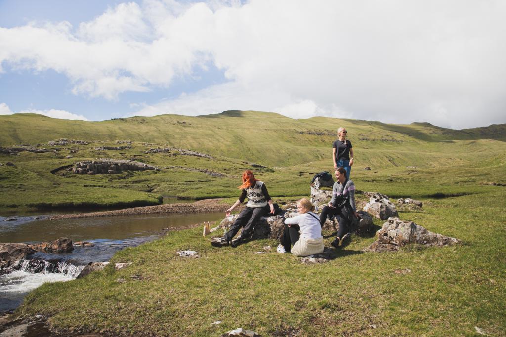
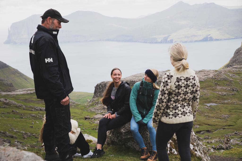
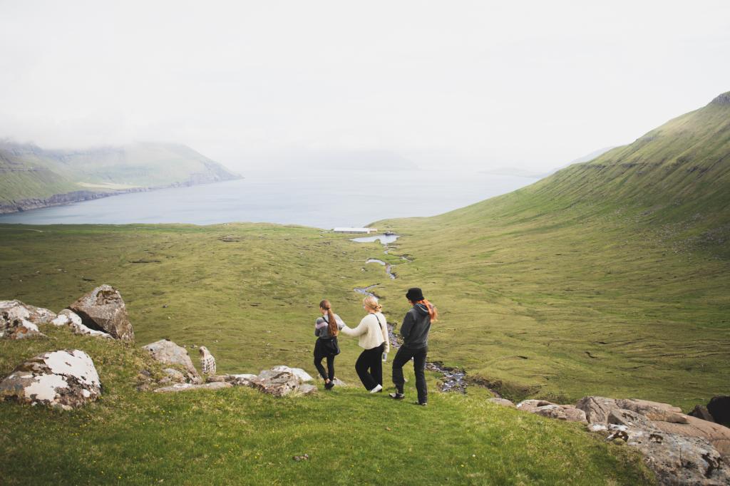
A popular hike with breathtaking sceneries
From the flat area on Skeiðsskarð, turn left onto a grass and gravel road. Already here, the view is magnificent. On clear days, you can see Vágar and the striking Trøllkonufingur (Trollwoman’s Finger), first climbed in 2012. To the right towers Skælingsfjall, 767 metres high, and to the left rises Sornfelli, where NATO installed radar equipment in 1963 to monitor air and sea traffic in the North Atlantic. Inside the mountain are tunnels once used by servicemen, closed to civilians. The radar base sparked protests in the 1980s, when peaceful demonstrations were held from Mjørkadalur to Tórshavn.After about half a kilometre, the road turns rocky, making the path hard to see. Walk carefully, as loose stones can slide. Approaching Skorðadalsegg, the terrain changes character—soft grass replaces rock, and only the sounds of birds, sheep, and perhaps a distant boat break the silence. The path may seem faint initially, but continue about 50 metres straight ahead, where it slopes gently downwards. After 400–500 metres, you’ll join the old village path between Skælingur and Norðradalur, marked by beautiful cairns built from local stones.
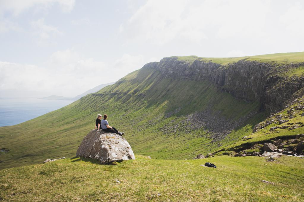
Follow the cairns upwards towards Vatndalsegg. The climb is short but steep, and the view from the top is worth every step. This is a perfect spot for a brief rest or coffee break. From here, you can see the rock formations on Likkureyn and Núgvan, and further out the Koltur, Hestur, Sandoy, and Suðuroy islands. Below lie the peaceful lakes of the valley.
To the right of the path stands Stroyisklettur, a hill named after Stroyur, a farmer from Norðadalur. According to legend, he fought and lost a battle against a farmer from Skælingur over the land in Skorðadalur, and was buried on this hill, which still bears his name. The valley remains part of Skælingur today.
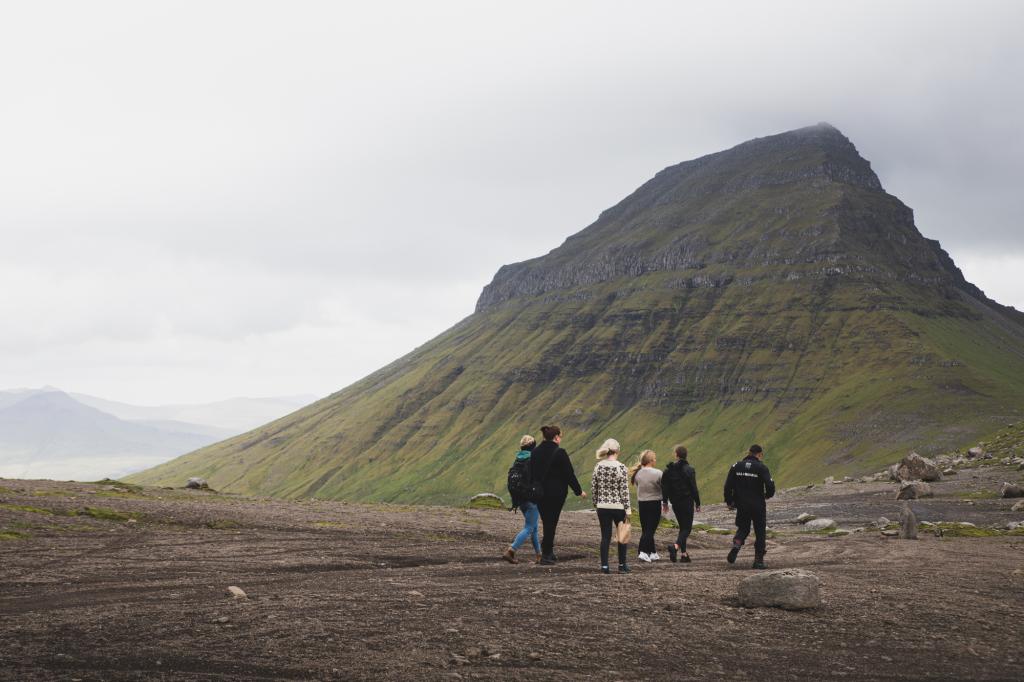
Continue into the valley and past the lakes. Keep to the left of the large lake and follow the river along its edge. Where the river joins another from the left, a small hill rises in front of you. Stay to the left of this hill and walk carefully—the ground may be slippery and uneven. Ahead, a cairn marks Áarstíggjur, the path that leads down to Norðradalur. Follow it gently downhill, keeping an eye on your footing.
At the bottom, continue towards the road and turn left to pass through the gate. Take a last look back—across ridges, valleys, and legends that tell the story of this stunning landscape. This hike from Skeiðsskarð to Norðradalur offers remarkable views and a quiet sense of connection to wild Faroese nature.


Skeiðsskarð - Norðradalur
This trip requires logistics because no bus service will take you to the start or end point. You can take a taxi or get someone to drive you. Another possibility, if you have two cars at your disposal, is to park one in Norðadal and drive the other vehicle up to Skeiðsskarð, where the route starts.
It is possible to park along the gravel path, but it is a rough, bumpy stretch requiring appropriate tyres.

Norðradalur - Skeiðsskarð
There is no public transport to and from Norðadalur
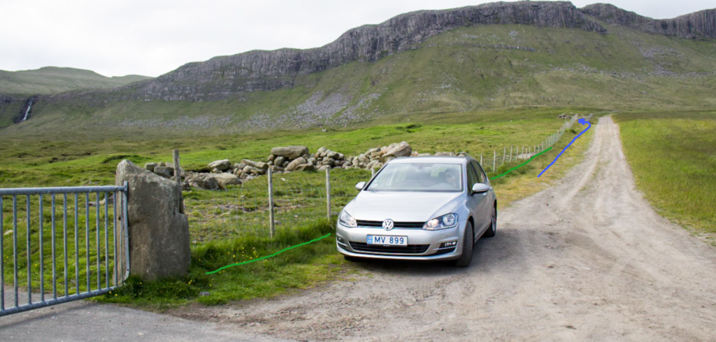
Parking, Norðradalur
Drive as far as you can on the main road toward the disused fish farming plant. The road to the fish farm is closed. Parking is available by the gate blocking the road and north of it. You need to park close to the fence. (see the green line) From there, follow the line up to the first gate, which leads you out to the pastures – see the blue line.


Skeiðsskarð - Norðradalur
Norðradalur - Skeiðsskarð
Facts

Duration

distance

Peak

Elevation
 Suitable for children. However, be extra careful just before Skorardalsegg and Áarstíggjur
 Difficult
- The hike is easy, but the stretch around Áarstíggj can seem scary for people with a fear of heights
Difficult
- The hike is easy, but the stretch around Áarstíggj can seem scary for people with a fear of heights
 Gravel/grass track, then path partly with cairns. Parts of the path are rocky and can be slippery
