

Eiði – Funningsfjørður
A ride with long climbs and exciting switchbacks
Description of the route
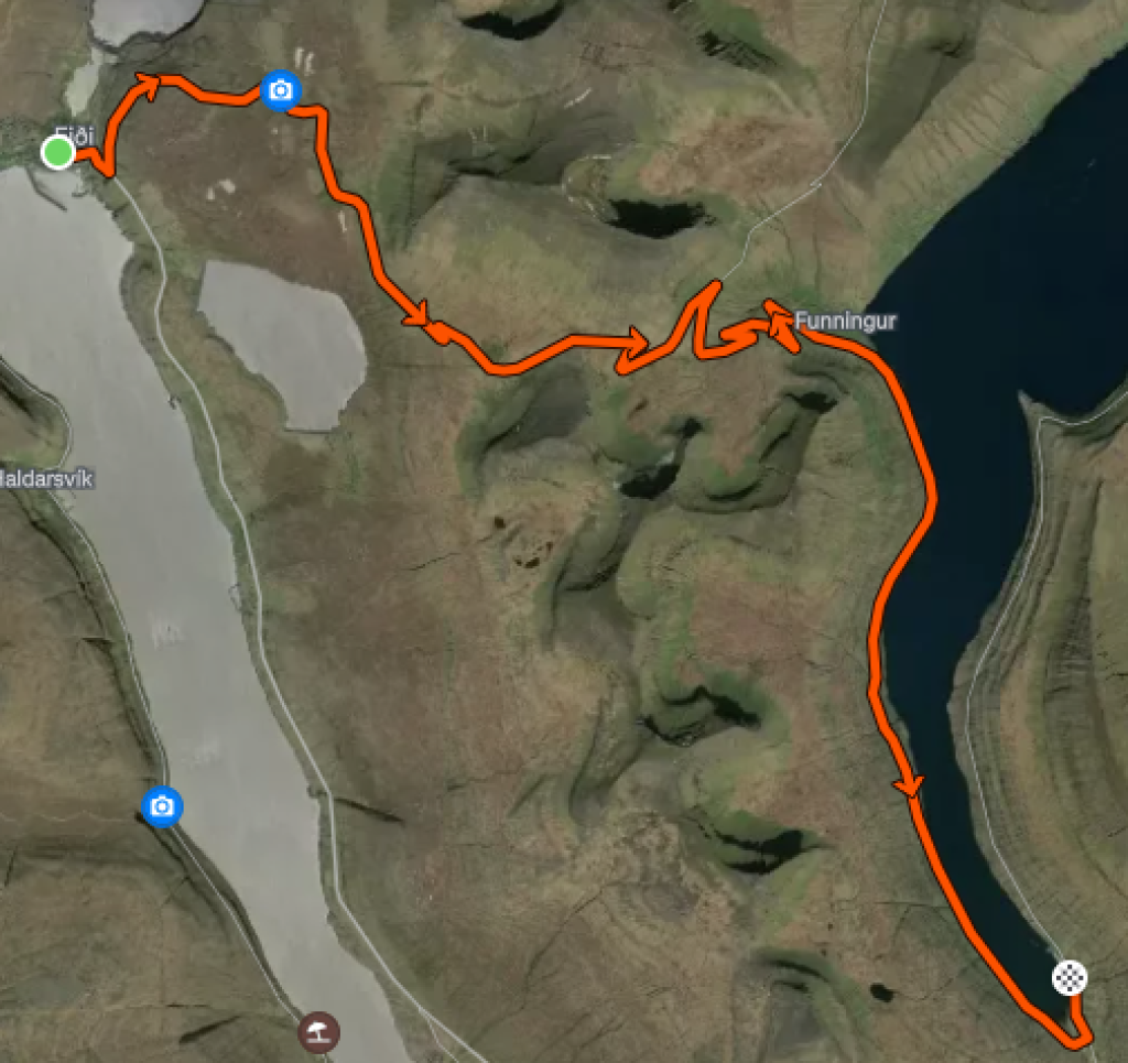
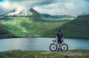
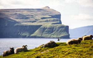
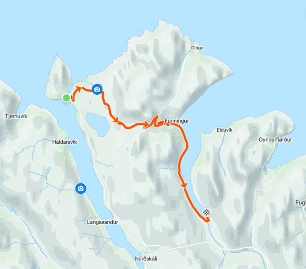
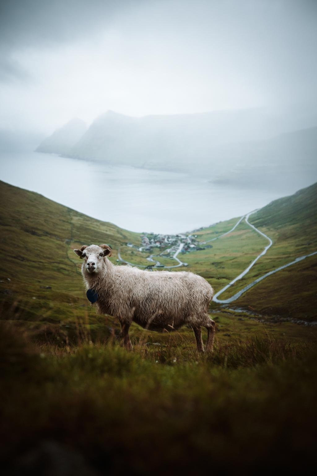
The ride begins at the church in Eiði, located in the centre of the village. Eiði is unique, with the sea on both sides and a strong fishing heritage.
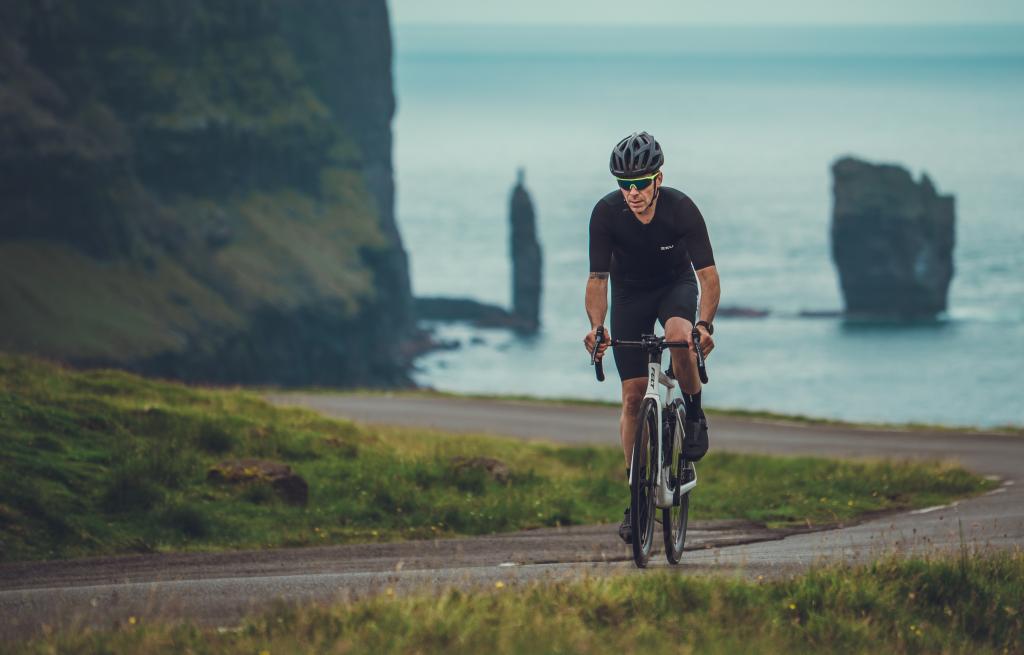
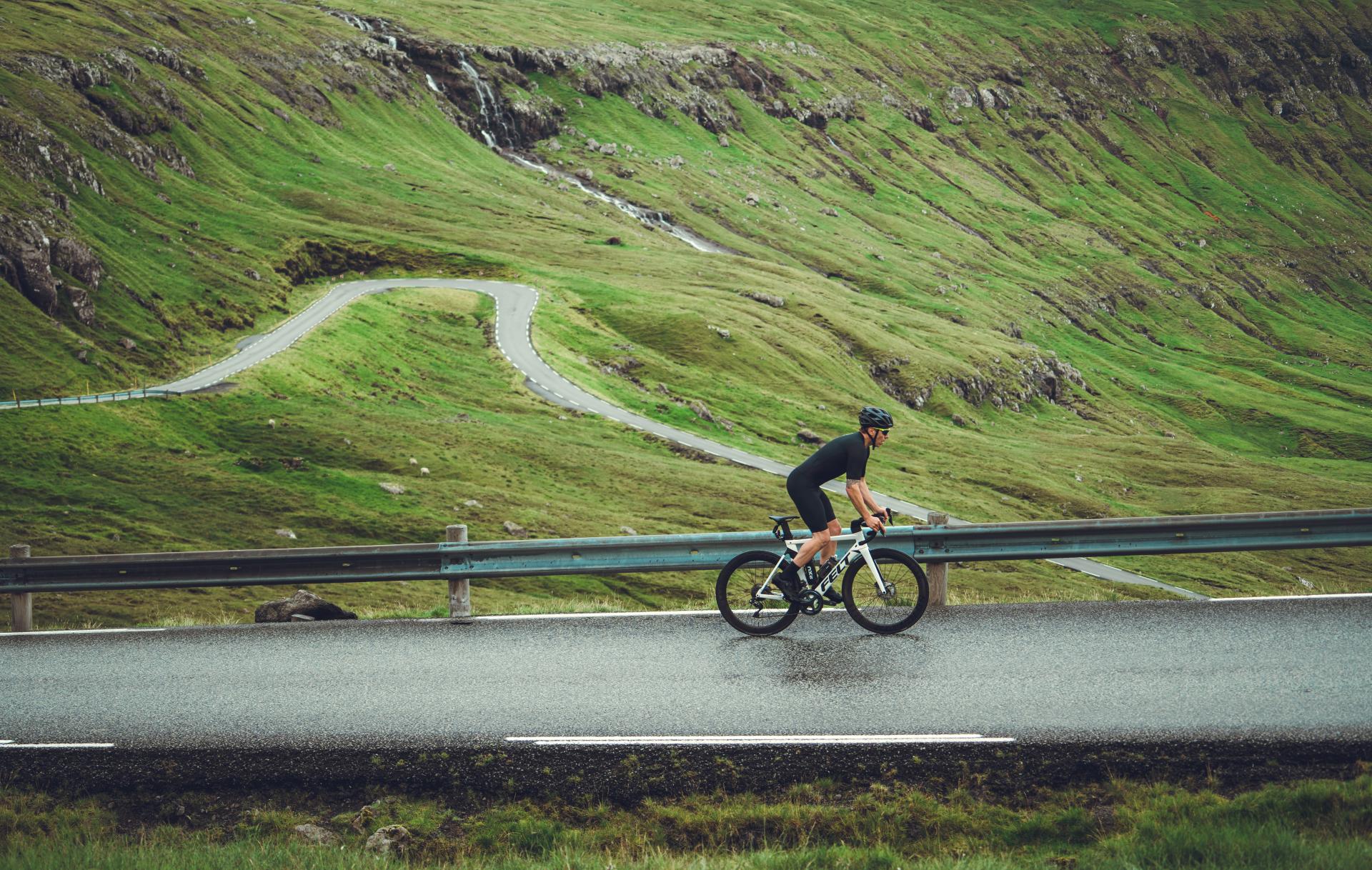
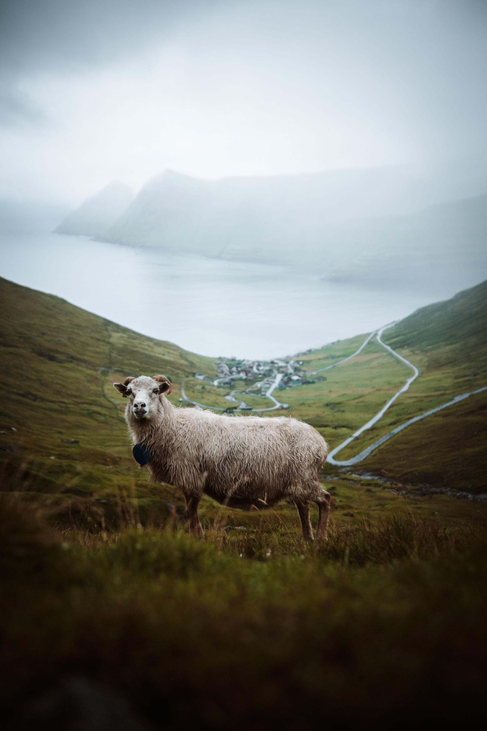
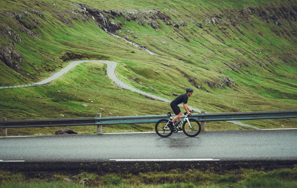
The climb takes you up toward the mountains and Eiðisskarð, with a rest stop halfway that offers views of the famous sea stacks, Risin and Kellingin. It’s the perfect spot to take a deep breath and enjoy the sights of the Giant and the Witch before reaching Eiðisskarð. Eiðisskarð stands at 448 meters high and features a steep incline of up to 9%. The route also passes Eiðisvatn, a natural reservoir that supplies the local hydroelectric plant. At the top, another rest stop provides a view of Slættaratindur, the highest mountain in the Faroe Islands, which reaches 882 meters.

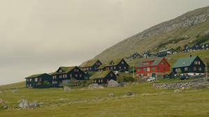
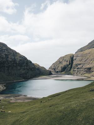
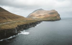
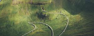
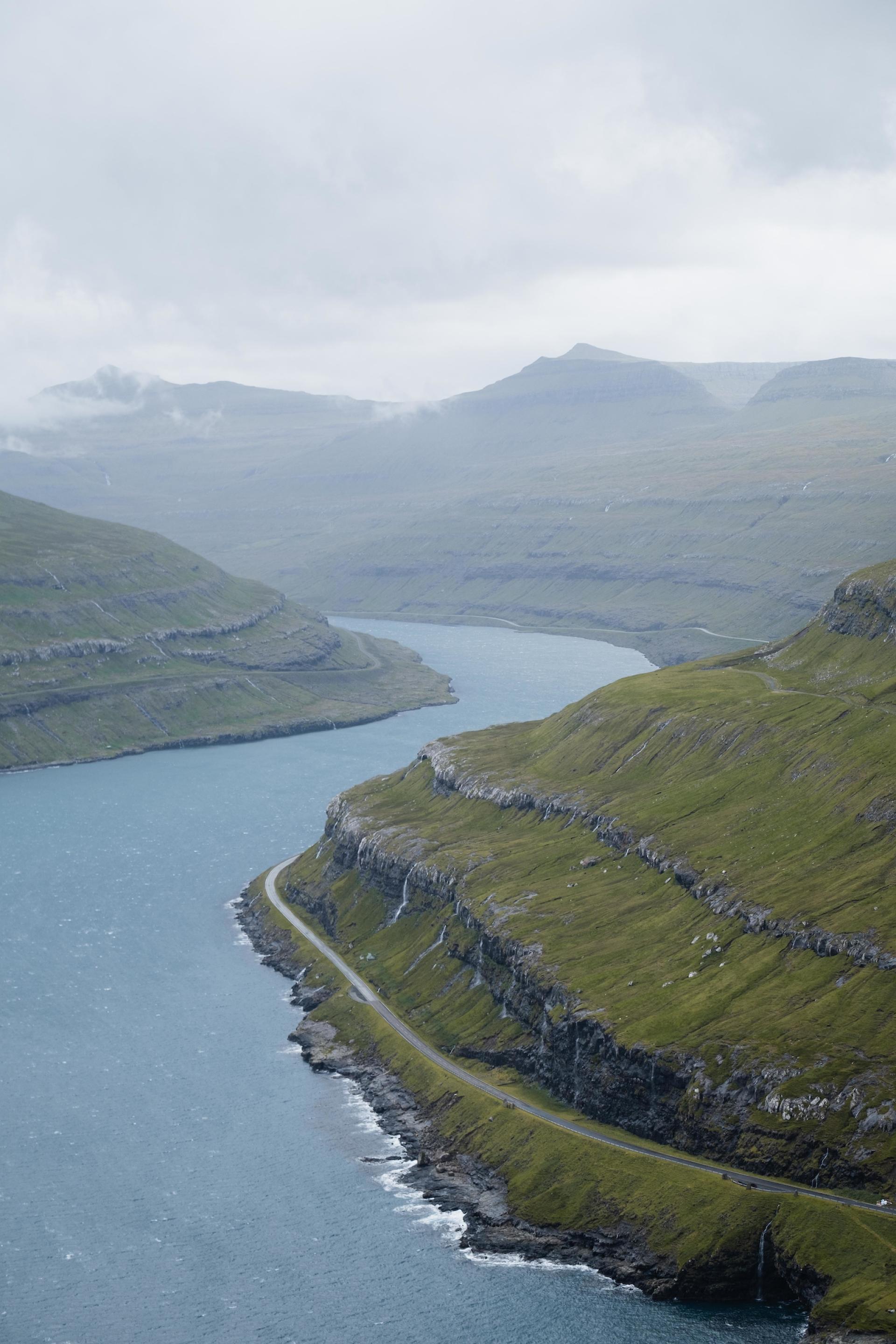
The descent leads down one of the most winding roads in the Faroes, eventually bringing you to the village of Funningur. Home to the Church of Funningur, one of the oldest and most beautiful wooden churches in the Faroe Islands, dating back to 1847, the church is often open on weekdays, allowing visitors to explore its historic interior.
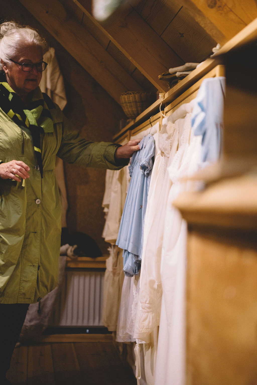
History Museum (Bygdasavnið Látrið)
History Museum (Bygdasavnið Látrið) in the Faroe Islands offers a unique insight into local history inside a beautifully restored 1840 farmhouse.
Eysturoy
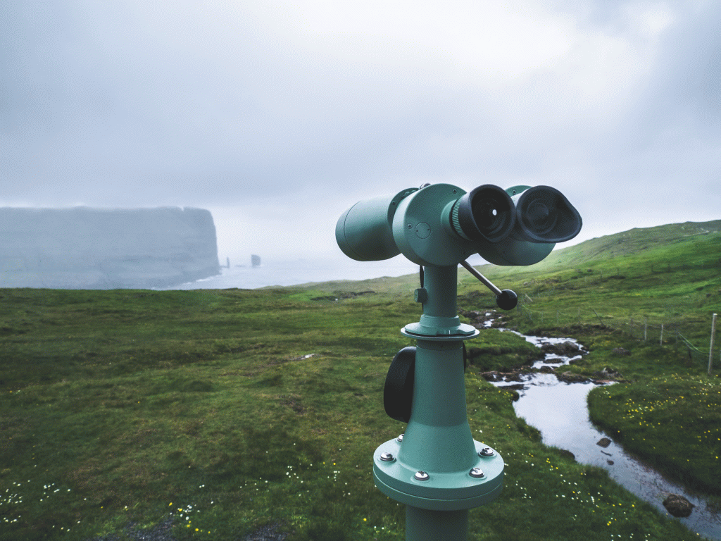
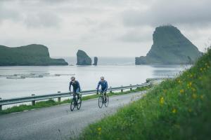
Fitjarnar (Kikarin)
Fitjarnar (Kikarin) offers stunning views of Risin, Kellingin, and Slættaratindur, easily accessible by car.
Eysturoy

Slættaratindur
Slættaratindur is the Faroe Islands' highest peak at 880m, offering stunning views of all 18 islands on clear days.
Eysturoy

Church of Funningur
Discover the historic Church of Funningur, one of ten artistic wooden churches from 1829-1847 with unique Faroese craftsmanship.
Eysturoy
Inspiration / Alternative routes
You can hike up Slættaratindur, the highest mountain in the Faroes (882m), for stunning panoramic views. Alternatively, the shorter hike to Hvíthamar offers a beautiful view of the village of Funningur, the distant sea, and dramatic cliffs. It’s a great way to enjoy the Faroese landscape without the full climb.
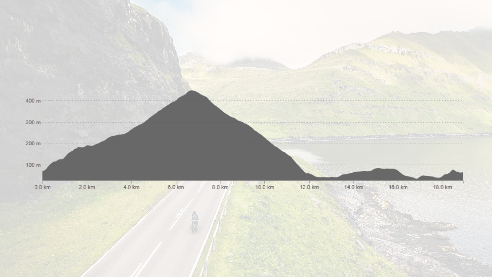
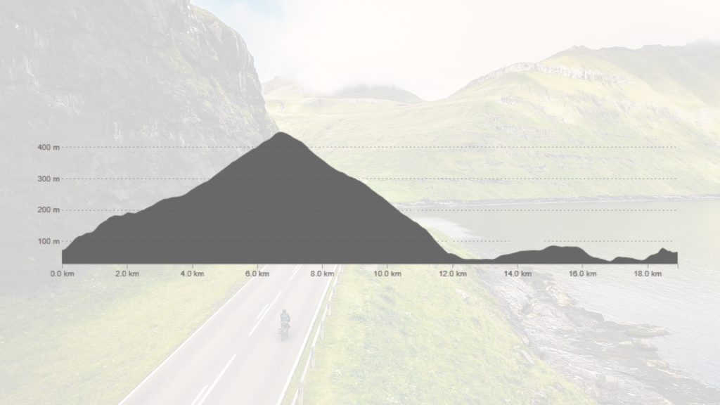
Elevation profile
The route's elevation profile begins with a gradual ascent, reaching the peak of Eiðisskarð at approximately 450 meters around the 7 km mark. This is followed by a descent that brings the elevation close to sea level. The latter part of the route consists of relatively minor elevation changes.
Child-friendly?
Suitable for children over 15 years, accompanied by adults.
Road conditions
Good asphalt road all the way.
Bike recommendation
Road bikes, Gravel bikes, and E-bikes.
Special note
Please remember to bring water and snacks with you. There are no tunnels along this route.