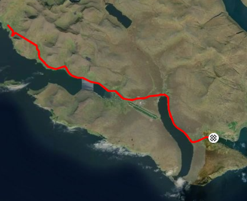

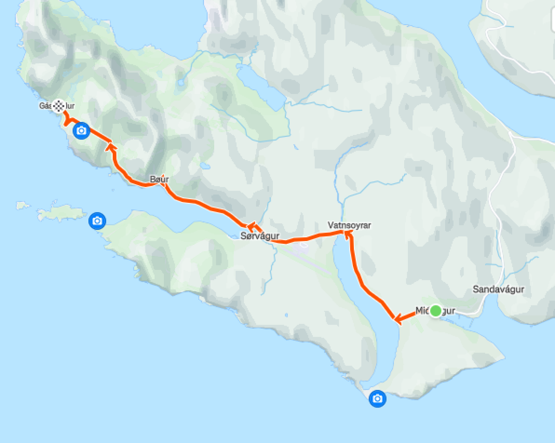


Miðvágur – Gásadalur
A longer, scenic ride through villages, past lakes, and into the mountains.
Description of the route
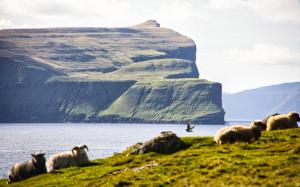
The trip starts in the village of Miðvágur—the largest settlement on the island of Vágar. Centrally located, Miðvágur is home to the local administration, a police station, a medical centre, and shops. It’s also a place of historical interest. Miðvágur is known for the story of Beinta, also called “Wicked Beinta,” whose life inspired Jørgen-Frantz Jacobsen’s novel Barbara, later adapted into a film in 1997. Just above the village stands Kálvalíð, thought to be one of the oldest houses in the Faroe Islands, now functioning as a local heritage museum. On clear days, you’ll have fine views south towards the neighbouring islands.

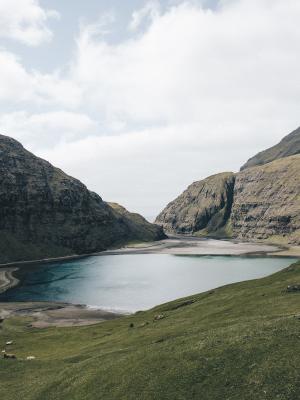
From Miðvágur, the route takes you along Sørvágsvatn—also known as Leitisvatn—a large lake that sits 32 metres above sea level in a broad valley between the mountains. At 3.56 km², it’s the largest lake in the country. The lake’s outlet is the short Bøsdalsá River, which ends in the Bøsdalafossur waterfall, dropping straight into the ocean.
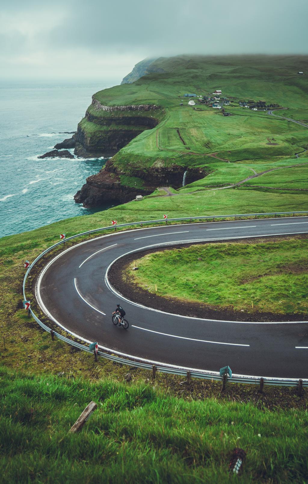
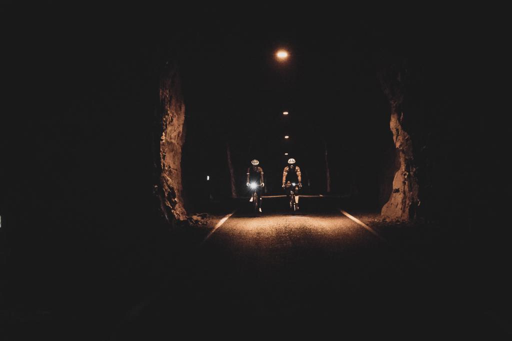
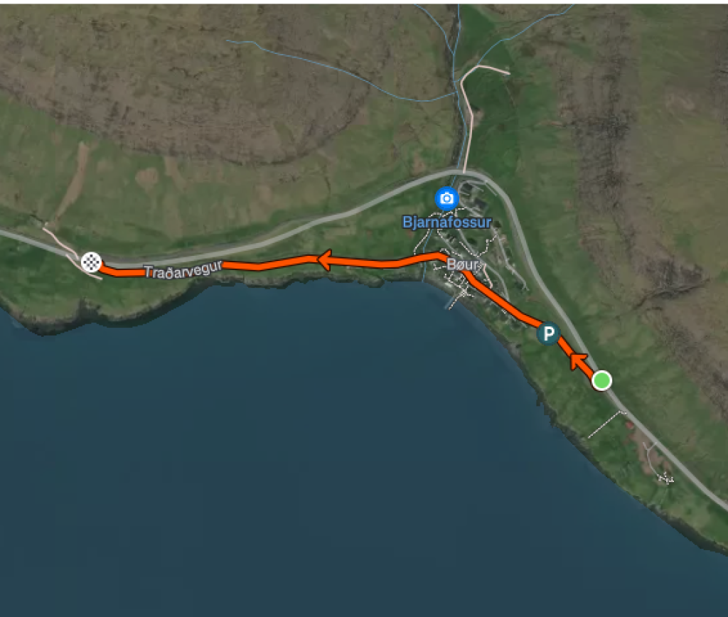
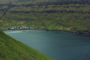
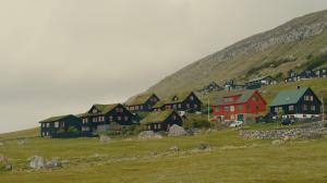
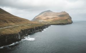
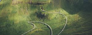
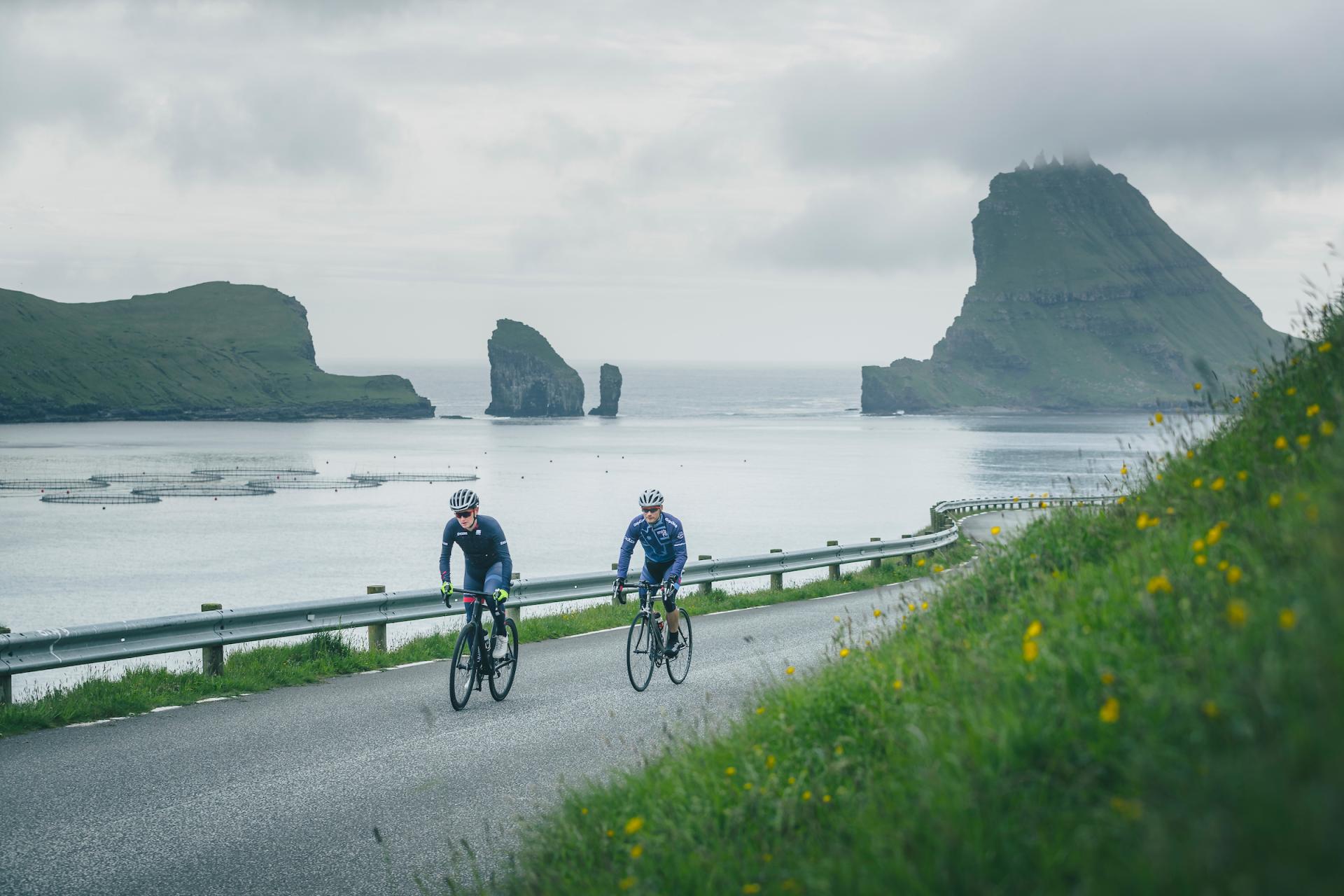
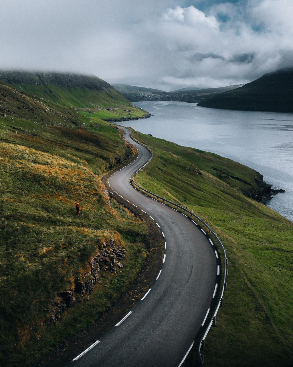
Once past the lake, a gradual climb leads up toward the airport. From here, continue through the village of Sørvágur, then past Bøur—a postcard-perfect town overlooking the sea. The ride continues through the Gásadalstunnilin, a narrow, 1,410-metre-long tunnel built between 2000 and 2003. With a road width of 3.5 metres and a max gradient of 6%, the tunnel is an adventure. Exiting on the other side, you descend into Gásadalur, known for its dramatic setting, cliffs, and the picturesque Múlafossur waterfall.
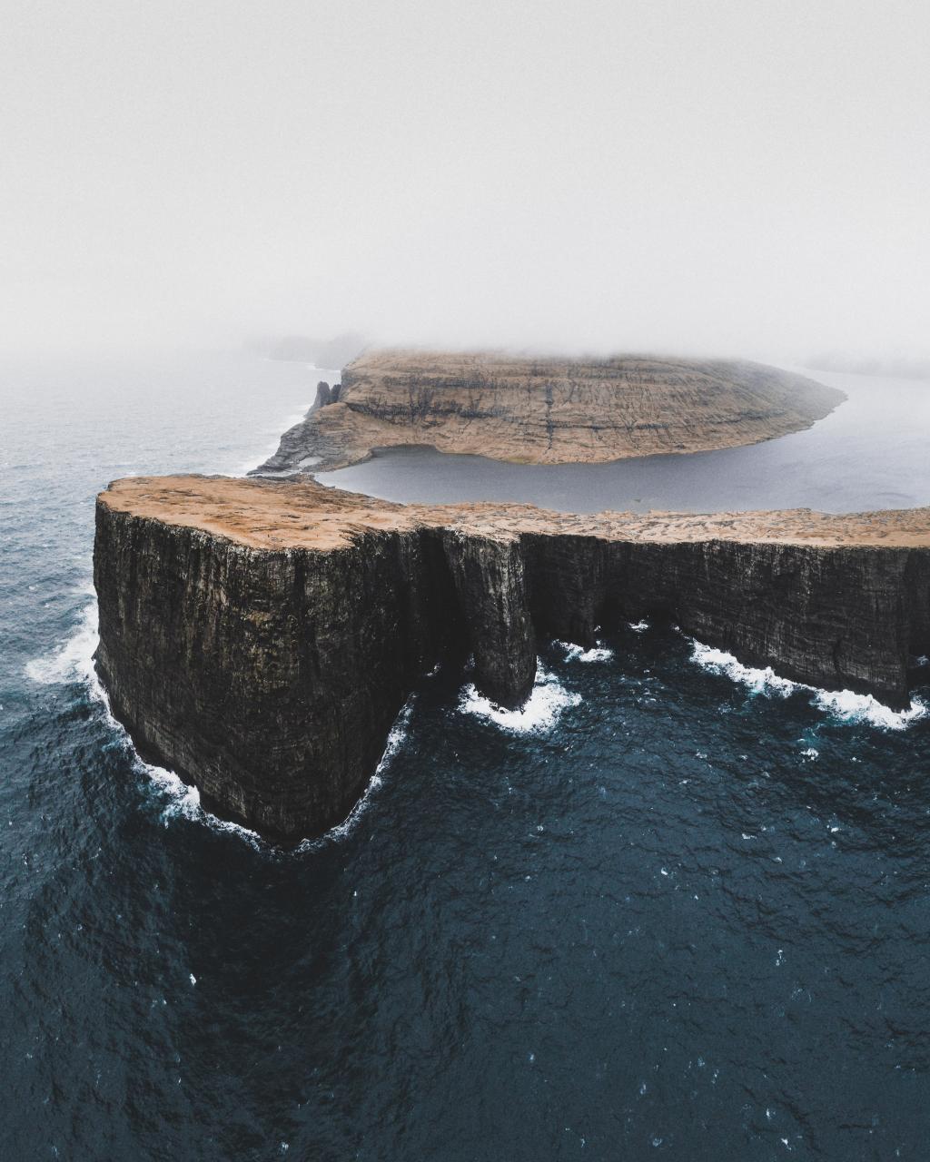
Trælanípan
Trælanípan is a stunning 142m rock wall rising from the sea, offering views of islands and the famous floating lake illusion.
Vágar
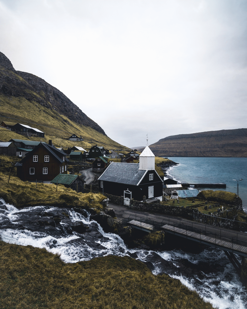
The Church of Bøur
Discover The Church of Bøur, a charming historic landmark on Vágar Island built in 1865 with unique cast iron altarpiece and art.
Vágar

Gásadalsgarður
Experience authentic Faroese farm-to-table dining at Gásadalsgarður café, near stunning Múlafossur waterfall.
Vágar
Uanni
Discover Uanni, a charming locally run souvenir shop in Gásadalur offering unique Faroese handcrafted gifts and woolens.
Vágar
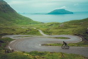
Inspiration / Alternative routes
Consider taking your time in Bøur, either on your way out or returning. The views from the village are spectacular.
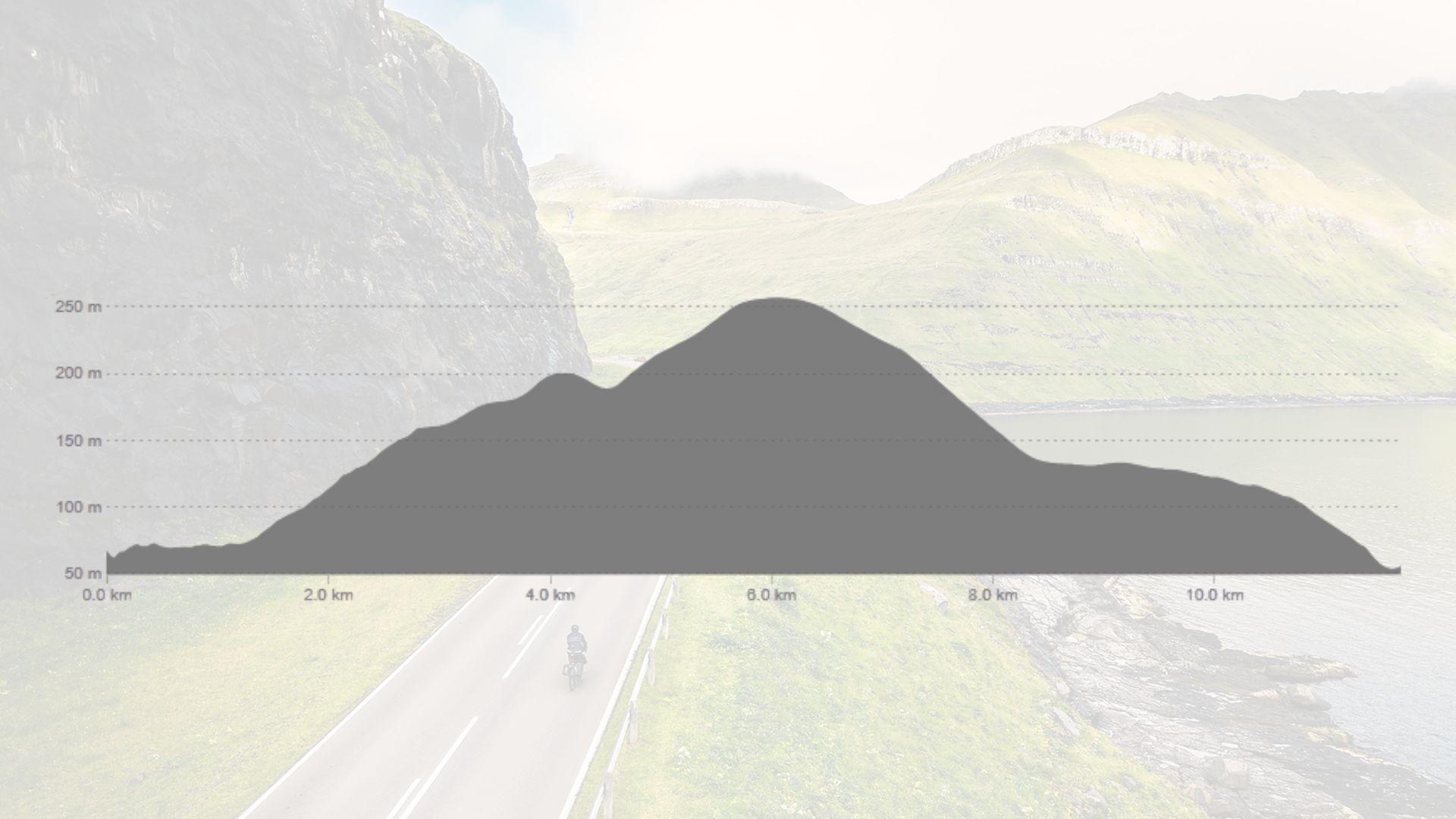
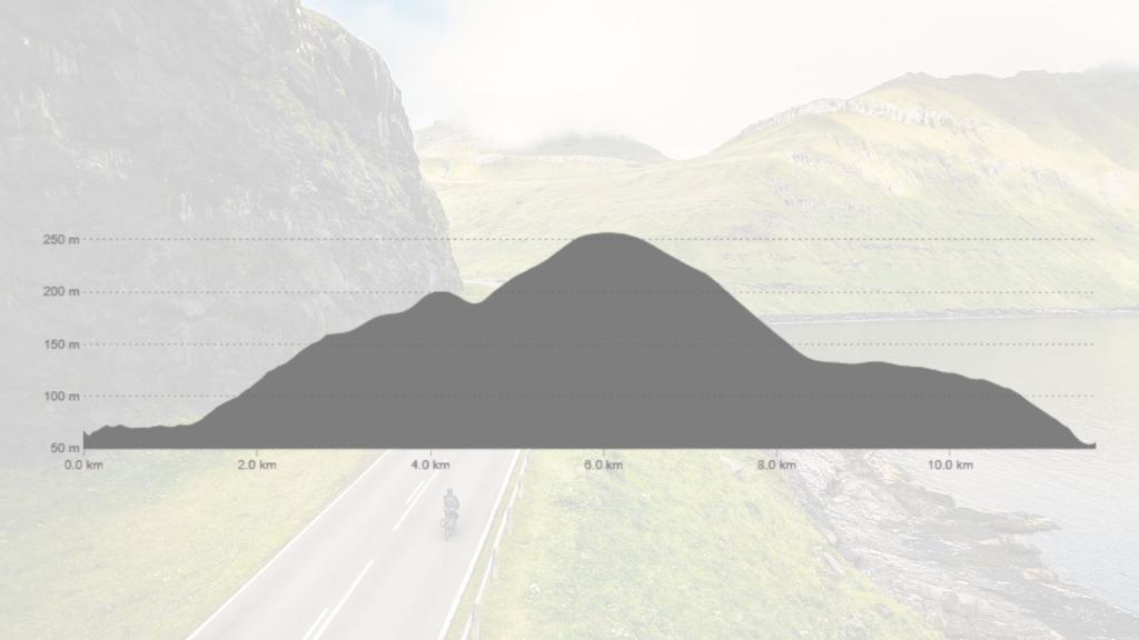
Elevation profile
The route's elevation profile shows a steady ascent to around 250 meters, followed by a descent with minor undulations before reaching the starting elevation again.
Child-friendly?
Suitable for children over 15 years, accompanied by adults.
Road conditions
Smooth asphalt road the entire way.
Special note
It’s a good idea to bring some refreshments, such as water and a snack